Medium airport · Australia

Ayers Rock Connellan AirportYAYE
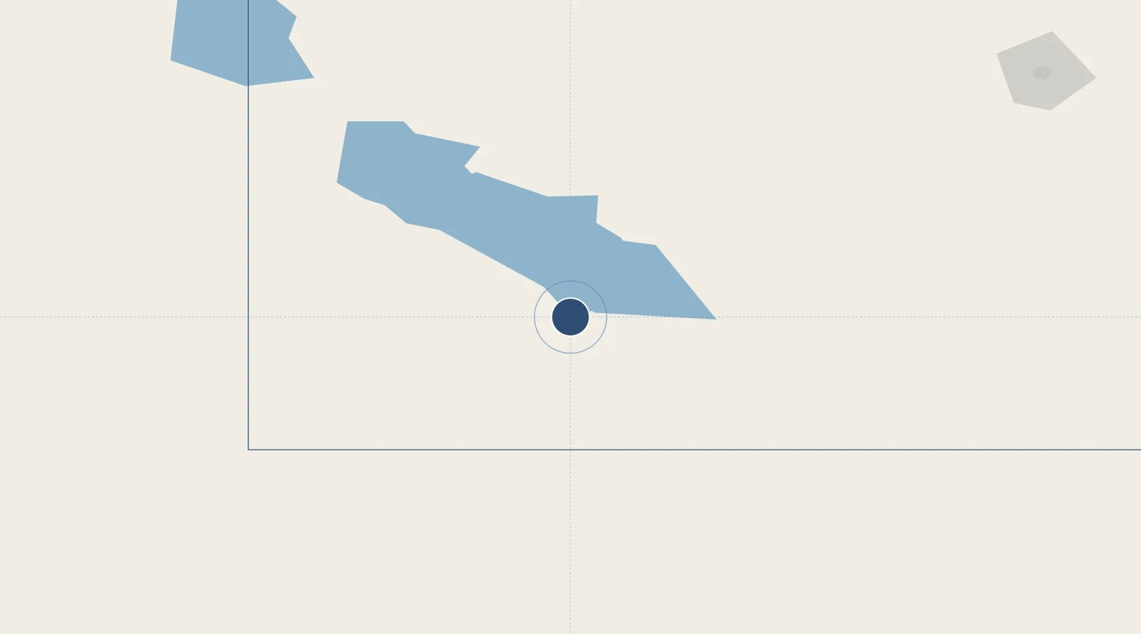
-25.1859°, 130.9770°
8,527 ft
Longest runway
1
Runways
1,626 ft
Elevation

Runway & Layout

Ayers Rock Connellan Airport runway & taxiway layout
Runway & taxiway layout — OpenStreetMap (ODbL) / OurAirports

Radio Frequencies

ATIS
126.55 MHz
CTAF
126.9 MHz
FSS
121.85 MHz
MELBOURNE CNTR
OurAirports

Navaids

AYE NDB-DME Ayers Rock 0.23 MHz
OurAirports

Runways · 1

RunwayDimensions SurfaceTrue headingLit
13/31 8,527 × 98ft Asphalt 130°
OurAirports

Airport Specifications

IATA code
AYQ
OurAirports
ICAO code
YAYE
OurAirports
Airport class
Medium airport
OurAirports
Scheduled service
Yes
OurAirports
Runway surface
Asphalt
OurAirports
Served city
Yulara
OurAirports

Location

Location of YAYE
Natural Earth 10m (public domain) · Northern Territory · YAYE · -25.19, 130.98GoogleOSMYandex

Nearby Logistics Neighbours

Airports
  1. 1Alice Springs Airport334 km
  2. 2Coober Pedy Airport566 km
  3. 3William Creek Aerodrome673 km
  4. 4Prominent Hill Airport674 km
  5. 5Forrest Airport688 km
Nearest neighbours — logibook spatial index (haversine) over the source coordinates
Cities
  1. 1Port Kenny957 km
  2. 2Lucky Bay1106 km
  3. 3Broadwood1123 km
  4. 4Rocky Point1146 km
  5. 5Bonnie Vale1148 km
Nearest neighbours — logibook spatial index (haversine) over the source coordinates
Ports
  1. 1Thevenard819 km
  2. 2Whyalla1083 km
  3. 3Port Bonython1092 km
  4. 4Port Pirie1121 km
  5. 5Wyndham1122 km
Nearest neighbours — logibook spatial index (haversine) over the source coordinates
Trade Zones
  1. 1Oecusse Ambeno Enclave Special Zone For Social Market Economy (Zeesm)1899 km
  2. 2Atauro Special Economic Zone1970 km
  3. 3Latrobe Valley Economic Growth Zone2051 km
  4. 4Western Province Special Economic Zone2251 km
  5. 5KEK Mandalika2386 km
Nearest neighbours — logibook spatial index (haversine) over the source coordinates
DatabookThe Record of Consolidated Knowledge
Australia beyond logistics?
Browse databook

All Sources

AirportsOurAirports
Public domain
Portsthe NGA World Port Index
Public domain (US gov)
LocationsUN/LOCODE
UN/LOCODE — free
Trade Zonesthe World Bank SEZ database
CC BY 4.0
Trade ZonesOpen Zone Map
CC BY
InfrastructureOpenStreetMap
ODbL 1.0
← Australia airports