Transport Functions
Rail
Road
Hub Profile
Place type
Populated place
Region
Western Australia
Time zone
Australia/Perth
Elevation
419 m
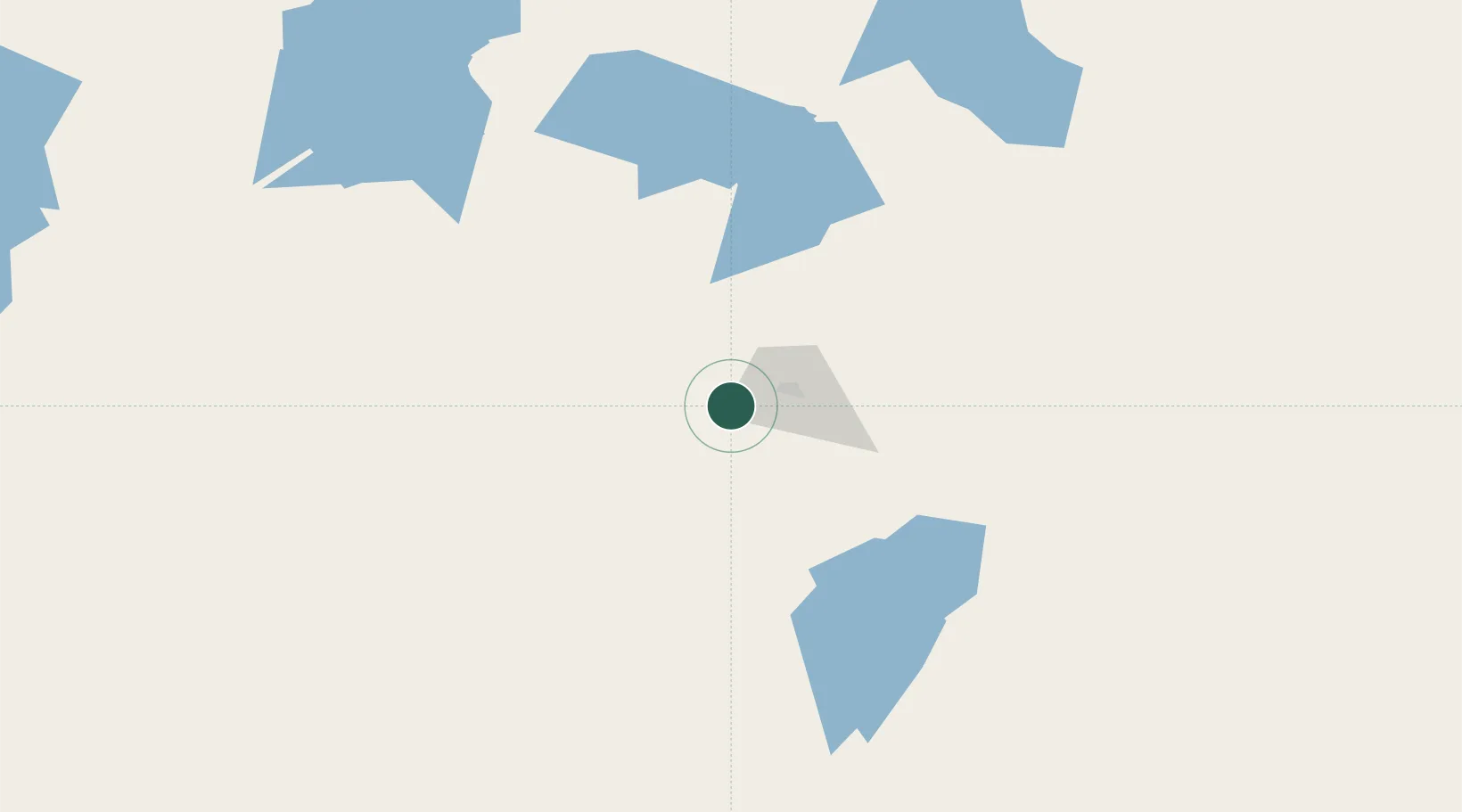
Location
Nearby Logistics Neighbours
Cities
- 1Coolgardie13 km
- 2Broadwood26 km
- 3Koolyanbobbing156 km
- 4Hyden284 km
- 5Mukinbudin285 km
Airports
- 1Kalgoorlie Boulder Airport27 km
- 2Leonora Airport218 km
- 3Laverton Airport275 km
- 4Esperance Airport323 km
- 5Leinster Airport336 km
Trade Zones
- 1Oecusse Ambeno Enclave Special Zone For Social Market Economy (Zeesm)2412 km
- 2KEK Mandalika2491 km
- 3Atauro Special Economic Zone2556 km
- 4KEK Singhasari2702 km
- 5Pasuruan Industrial Estate Rembang2725 km
DatabookThe Record of Consolidated Knowledge
Australia beyond logistics?