Transport Functions
Port
Hub Profile
Place type
Populated place
Region
Penang
Time zone
Asia/Kuala_Lumpur
Elevation
14 m
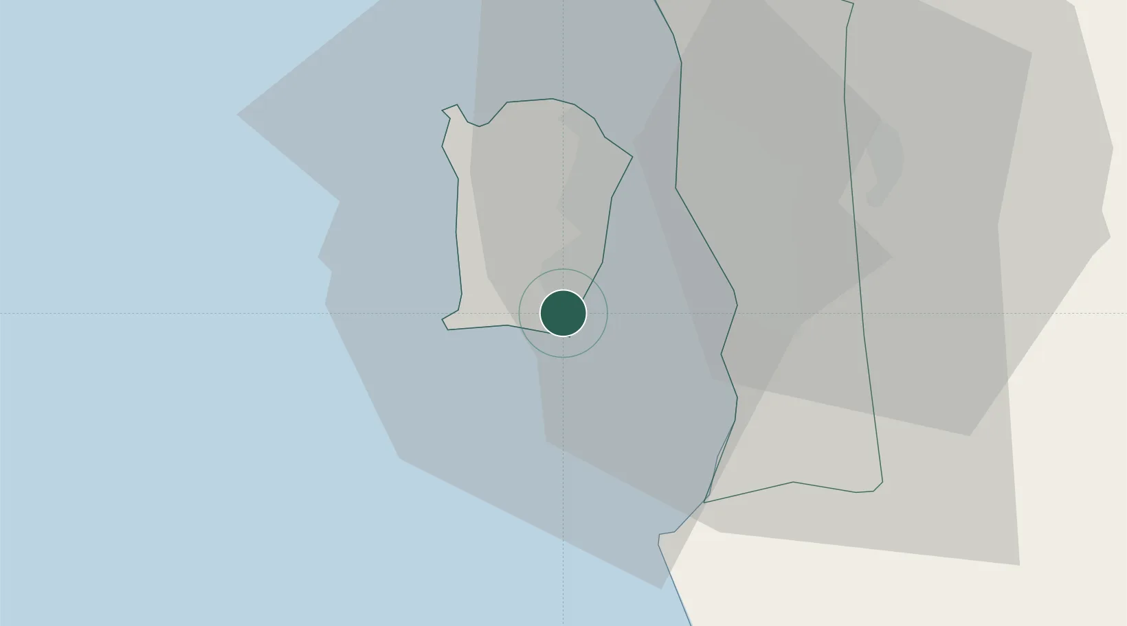
Location
Nearby Logistics Neighbours
Cities
- 1Jelutong14 km
- 2Perai15 km
- 3Batu Kawan15 km
- 4George Town16 km
- 5Pulau Tikus17 km
Ports
- 1Pulau Pinang17 km
- 2Lumut123 km
- 3Port Langkawi140 km
- 4Teluk Anson163 km
- 5Pattani217 km
Airports
- 1Penang International Airport2 km
- 2RMAF Butterworth Air Base24 km
- 3Sultan Abdul Halim Airport102 km
- 4Betong International Airport111 km
- 5Pulau Pangkor Airport119 km
DatabookThe Record of Consolidated Knowledge
Malaysia beyond logistics?