UN/LOCODE hub · Indonesia
IDPJG

Panjang (Lampung, Sumatra)

-5.4391°, 105.2896°
1
Transport functions

Transport Functions

Rail
UN/LOCODE

Hub Profile

Logistics facilities
4
UN/LOCODE

Location

Location of IDPJG
Natural Earth 10m (public domain) · Lampung · IDPJG · -5.44, 105.29GoogleOSMYandex

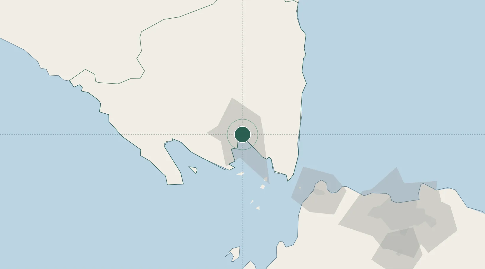
Nearby Logistics Neighbours

Cities
  1. 1Panjang4 km
  2. 2Tarahan17 km
  3. 3Anyer Kidul96 km
  4. 4Ciwandan97 km
  5. 5Cikande145 km
Nearest neighbours — logibook spatial index (haversine) over the source coordinates
Ports
  1. 1Panjang4 km
  2. 2Merak Mas Terminal95 km
  3. 3Tanjung Sekong95 km
  4. 4Anyer Lor97 km
  5. 5Banten99 km
Nearest neighbours — logibook spatial index (haversine) over the source coordinates
Airports
  1. 1Radin Inten II International Airport24 km
  2. 2Soekarno-Hatta International Airport169 km
  3. 3Halim Perdanakusuma International Airport200 km
  4. 4Pendopo Airport286 km
  5. 5Sultan Mahmud Badaruddin II Airport290 km
Nearest neighbours — logibook spatial index (haversine) over the source coordinates
Trade Zones
  1. 1Krakatau Industrial Estate - Cilegon101 km
  2. 2Wilmar Integrated Industrial Park110 km
  3. 3KEK Tanjung Lesung124 km
  4. 4ModernCikande Industrial Estate143 km
  5. 5Millenium Industrial Estate162 km
Nearest neighbours — logibook spatial index (haversine) over the source coordinates
DatabookThe Record of Consolidated Knowledge
Indonesia beyond logistics?
Browse databook

All Sources

LocationsUN/LOCODE
UN/LOCODE — free
Portsthe NGA World Port Index
Public domain (US gov)
AirportsOurAirports
Public domain
Trade Zonesthe World Bank SEZ database
CC BY 4.0
Trade ZonesOpen Zone Map
CC BY
← Indonesia locations