UN/LOCODE hub · Indonesia
IDANR

Anyer Kidul

-6.0667°, 105.8833°
3
Transport functions

Transport Functions

Port
Rail
Road
Anyer Kidul is also a profiled seaport →
UN/LOCODE

Hub Profile

Region
JB
GeoNames

Location

Location of IDANR
Natural Earth 10m (public domain) · JB · IDANR · -6.07, 105.88GoogleOSMYandex

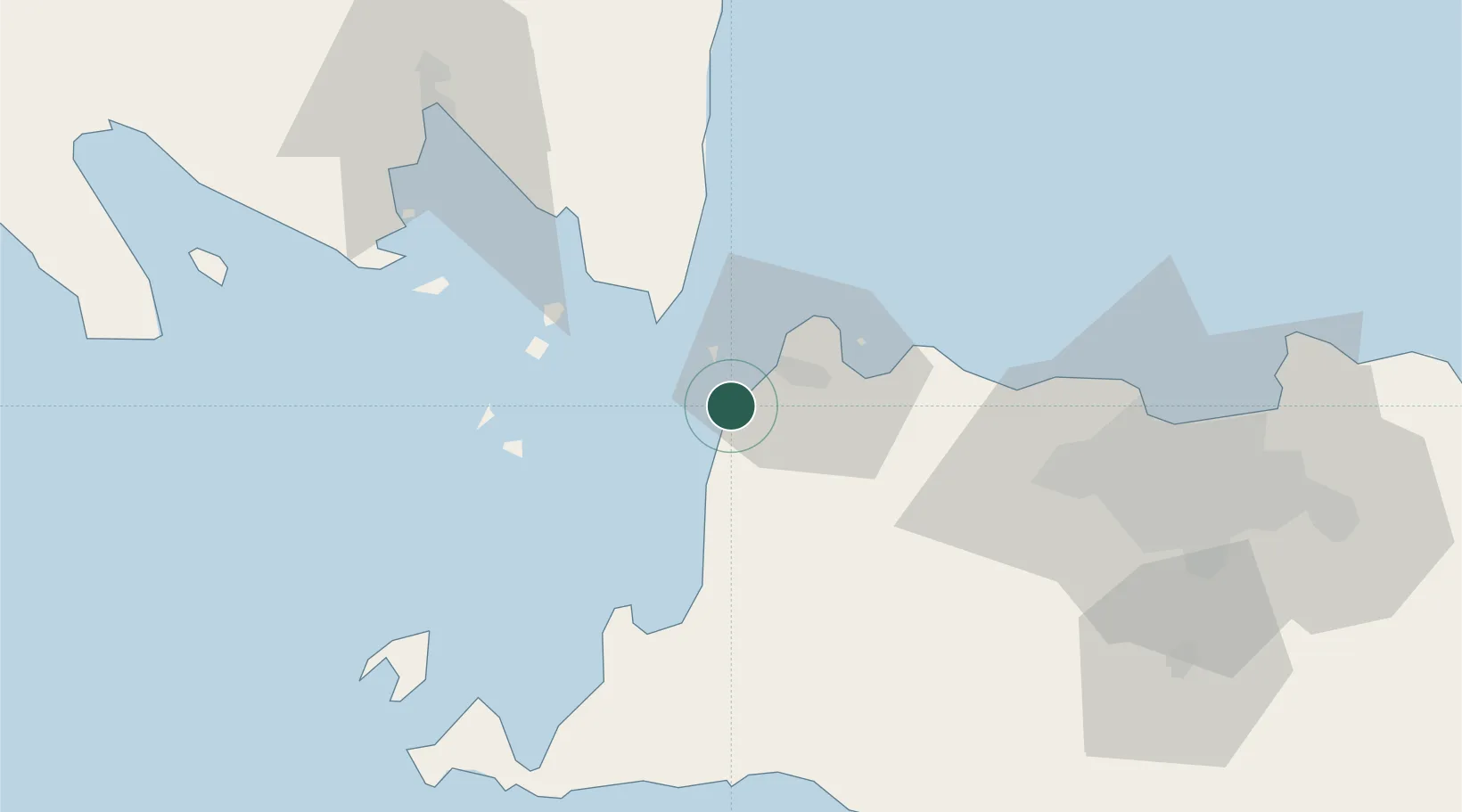
Nearby Logistics Neighbours

Cities
  1. 1Ciwandan9 km
  2. 2Cikande54 km
  3. 3Koja61 km
  4. 4Tarahan80 km
  5. 5Panjang92 km
Nearest neighbours — logibook spatial index (haversine) over the source coordinates
Ports
  1. 1Banten11 km
  2. 2Merak Mas Terminal21 km
  3. 3Tanjung Sekong21 km
  4. 4Panjang92 km
  5. 5Jakarta111 km
Nearest neighbours — logibook spatial index (haversine) over the source coordinates
Airports
  1. 1Soekarno-Hatta International Airport86 km
  2. 2Halim Perdanakusuma International Airport114 km
  3. 3Radin Inten II International Airport120 km
  4. 4Husein Sastranegara International Airport209 km
  5. 5Kertajati International Airport260 km
Nearest neighbours — logibook spatial index (haversine) over the source coordinates
Trade Zones
  1. 1Krakatau Industrial Estate - Cilegon16 km
  2. 2Wilmar Integrated Industrial Park25 km
  3. 3ModernCikande Industrial Estate52 km
  4. 4KEK Tanjung Lesung53 km
  5. 5Millenium Industrial Estate71 km
Nearest neighbours — logibook spatial index (haversine) over the source coordinates
DatabookThe Record of Consolidated Knowledge
Indonesia beyond logistics?
Browse databook

All Sources

LocationsUN/LOCODE
UN/LOCODE — free
Portsthe NGA World Port Index
Public domain (US gov)
AirportsOurAirports
Public domain
Trade Zonesthe World Bank SEZ database
CC BY 4.0
Trade ZonesOpen Zone Map
CC BY
← Indonesia locations