Industrial Estate · Indonesia

Millenium Industrial Estate Active
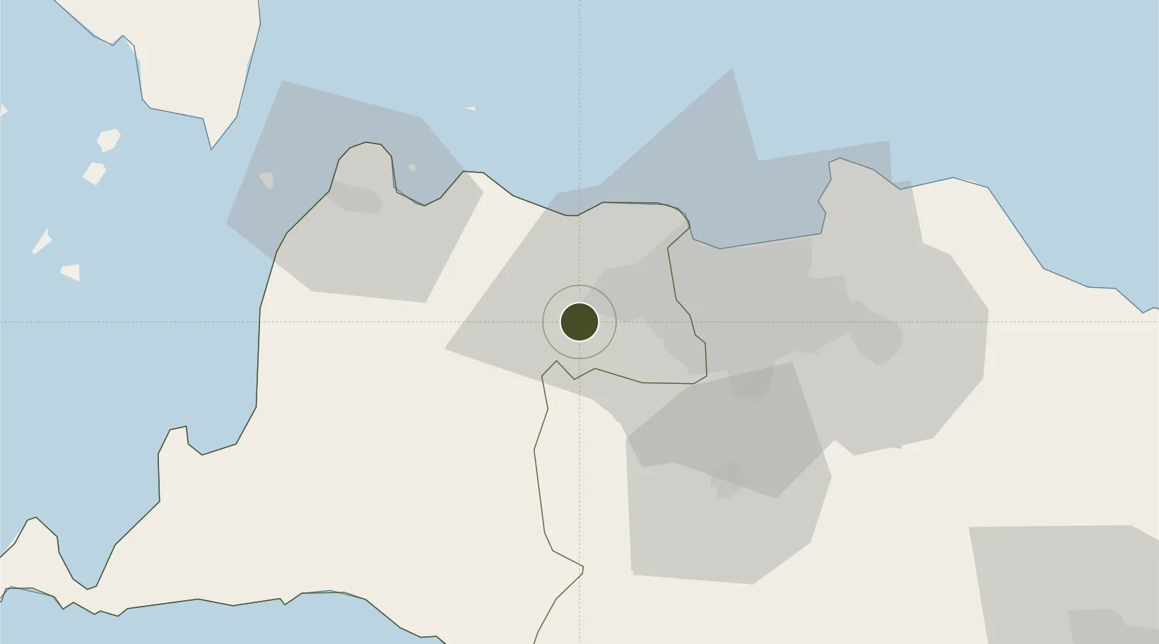
-6.2569°, 106.5000°
1,800 ha
Zone area
45.8 km
Nearest port
22.6 km
Nearest airport

Gateway access

Nearest neighbours — logibook spatial index (haversine) over the source coordinates

Zone profile

Zone type
Industrial Estate
the World Bank SEZ database
Region
Banten
the World Bank SEZ database
Status
Active
the World Bank SEZ database
Established
2004
the World Bank SEZ database
Management
Private management
the World Bank SEZ database
Operator
PT Bumi Citra Permai Tbk.
the World Bank SEZ database
Regulatory authority
Industrial Estate Authority of Indonesia*
the World Bank SEZ database
Legal framework
Government Regulation No 142/2015
the World Bank SEZ database

Location

Location of IDN2
Natural Earth 10m (public domain) · Banten · IDN2 · -6.26, 106.50GoogleOSMYandex

Fiscal & incentives

Corporate tax
25%
the World Bank SEZ database
Tax relief
Under review
the World Bank SEZ database
Relief duration
Under review
the World Bank SEZ database
VAT
Under review
the World Bank SEZ database
Import duty (inputs)
Under review
the World Bank SEZ database
Import duty (capex)
Under review
the World Bank SEZ database
Profit repatriation
Under review
the World Bank SEZ database
Capital gains
Under review
the World Bank SEZ database
Withholding tax
Under review
the World Bank SEZ database
Min. investment
None
the World Bank SEZ database
Min. export
0%
the World Bank SEZ database
Employment incentive
Under review
the World Bank SEZ database
Developer incentive
No established framework
the World Bank SEZ database

Nearby Logistics Neighbours

Ports
  1. 1Jakarta46 km
  2. 2Banten65 km
  3. 3Tanjung Sekong67 km
  4. 4Merak Mas Terminal67 km
  5. 5Anyer Lor69 km
Nearest neighbours — logibook spatial index (haversine) over the source coordinates
Airports
  1. 1Soekarno-Hatta International Airport23 km
  2. 2Halim Perdanakusuma International Airport43 km
  3. 3Husein Sastranegara International Airport139 km
  4. 4Radin Inten II International Airport184 km
  5. 5Kertajati International Airport189 km
Nearest neighbours — logibook spatial index (haversine) over the source coordinates
Cities
  1. 1Koja14 km
  2. 2Cikande18 km
  3. 3Kembangan27 km
  4. 4Pasar Rebo30 km
  5. 5Palmerah32 km
Nearest neighbours — logibook spatial index (haversine) over the source coordinates
Trade Zones
  1. 1ModernCikande Industrial Estate19 km
  2. 2BSD City Industrial Estate22 km
  3. 3Jakarta Industrial Estate - Pulogadung47 km
  4. 4Sentul Industrial Estate49 km
  5. 5Kawasan Berikat Nusantara Industrial Estate49 km
Nearest neighbours — logibook spatial index (haversine) over the source coordinates
DatabookThe Record of Consolidated Knowledge
Indonesia beyond logistics?
Browse databook

All Sources

Trade Zonesthe World Bank SEZ database
CC BY 4.0
Portsthe NGA World Port Index
Public domain (US gov)
AirportsOurAirports
Public domain
LocationsUN/LOCODE
UN/LOCODE — free
← Indonesia trade zones