Transport Functions
Port
Hub Profile
Place type
Populated place
Region
Banten
Time zone
Asia/Jakarta
Elevation
8 m
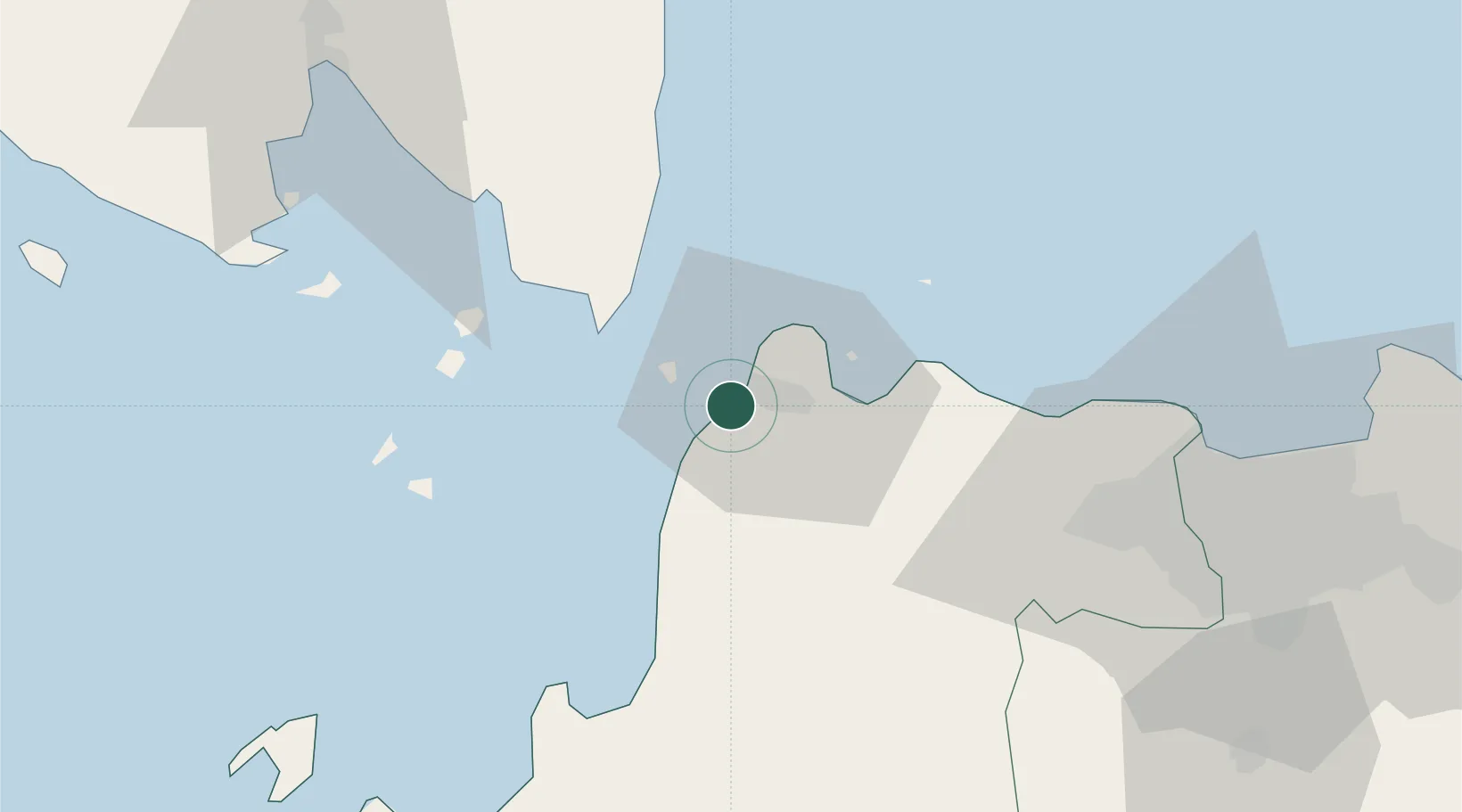
Location
Nearby Logistics Neighbours
Cities
- 1Anyer Kidul9 km
- 2Cikande49 km
- 3Koja57 km
- 4Tarahan82 km
- 5Kembangan89 km
Ports
- 1Banten2 km
- 2Anyer Lor5 km
- 3Merak Mas Terminal12 km
- 4Tanjung Sekong12 km
- 5Panjang93 km
Airports
Trade Zones
DatabookThe Record of Consolidated Knowledge
Indonesia beyond logistics?