Seaport · Indonesia

Tanjung SekongIDTSE

-5.9167°, 106.0000°
12.5 m
Channel depth

Channel & Berth Profile

SEA LEVEL (CD)CHANNEL BEDCargo pier · 6.4 mChannel · 12.5 mOil terminal · 12.5 m
NGA World Port Index

Pilotage, Tugs & Services

Pilotage availableYES
Tug assistanceYES
Salvage tugsNO
Potable waterYES
MedicalYES
NGA World Port Index

Facilities & Capabilities

Container
Ro-Ro
Liquid bulk
Dry bulk
Oil terminal
Break bulk
Dry dock
RepairsNO
BunkeringYES
Rail linkYES
Dangerous cargo
ISPS security
NGA World Port Index

Harbour Specifications

Harbour size
Very Small
NGA World Port Index
Harbour type
Coastal (Natural)
NGA World Port Index
Shelter
Fair
NGA World Port Index
Water body
Indian Ocean, Java Sea; South Pacific Ocean
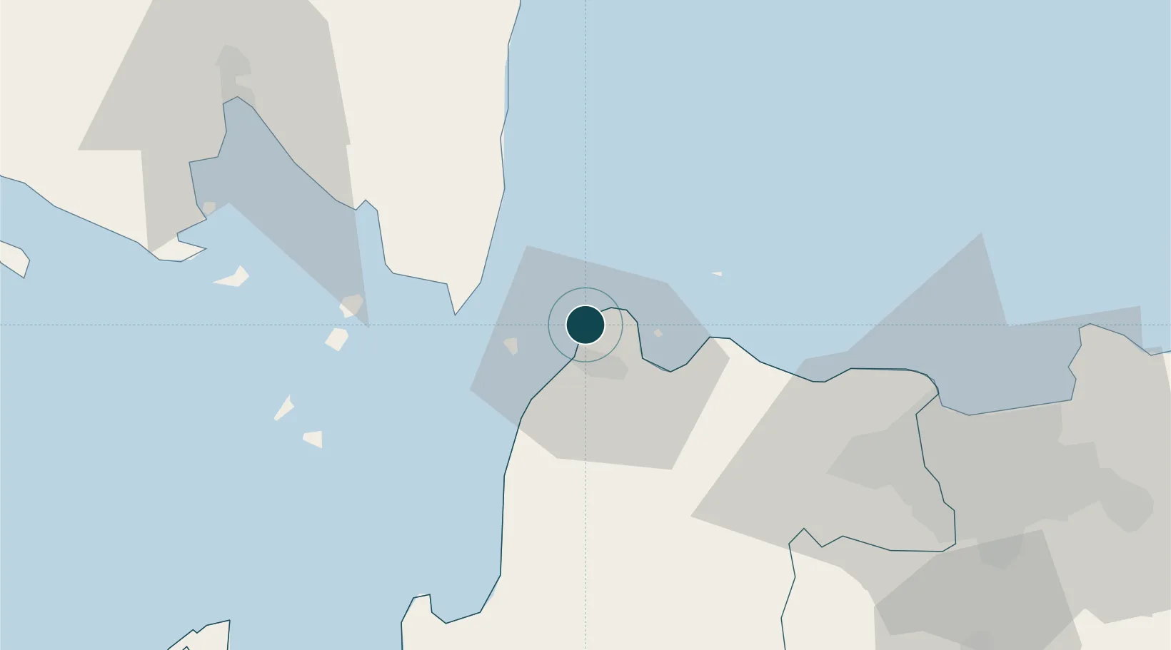
NGA World Port Index

Location

Location of IDTSE
Natural Earth 10m (public domain) · Banten · IDTSE · -5.92, 106.00GoogleOSMYandex

Nearby Logistics Neighbours

Ports
  1. 1Merak Mas Terminal0 km
  2. 2Banten12 km
  3. 3Anyer Lor18 km
  4. 4Panjang91 km
  5. 5Jakarta100 km
Nearest neighbours — logibook spatial index (haversine) over the source coordinates
Cities
  1. 1Ciwandan12 km
  2. 2Anyer Kidul21 km
  3. 3Cikande50 km
  4. 4Koja60 km
  5. 5Tarahan80 km
Nearest neighbours — logibook spatial index (haversine) over the source coordinates
Airports
  1. 1Soekarno-Hatta International Airport76 km
  2. 2Halim Perdanakusuma International Airport106 km
  3. 3Radin Inten II International Airport117 km
  4. 4Husein Sastranegara International Airport206 km
  5. 5Kertajati International Airport253 km
Nearest neighbours — logibook spatial index (haversine) over the source coordinates
Trade Zones
  1. 1Krakatau Industrial Estate - Cilegon9 km
  2. 2Wilmar Integrated Industrial Park15 km
  3. 3ModernCikande Industrial Estate48 km
  4. 4Millenium Industrial Estate67 km
  5. 5KEK Tanjung Lesung74 km
Nearest neighbours — logibook spatial index (haversine) over the source coordinates
DatabookThe Record of Consolidated Knowledge
Indonesia beyond logistics?
Browse databook

All Sources

Portsthe NGA World Port Index
Public domain (US gov)
AirportsOurAirports
Public domain
LocationsUN/LOCODE
UN/LOCODE — free
Trade Zonesthe World Bank SEZ database
CC BY 4.0
Trade ZonesOpen Zone Map
CC BY
← Indonesia ports