Large airport · China

Xishuangbanna Gasa International AirportZPJH
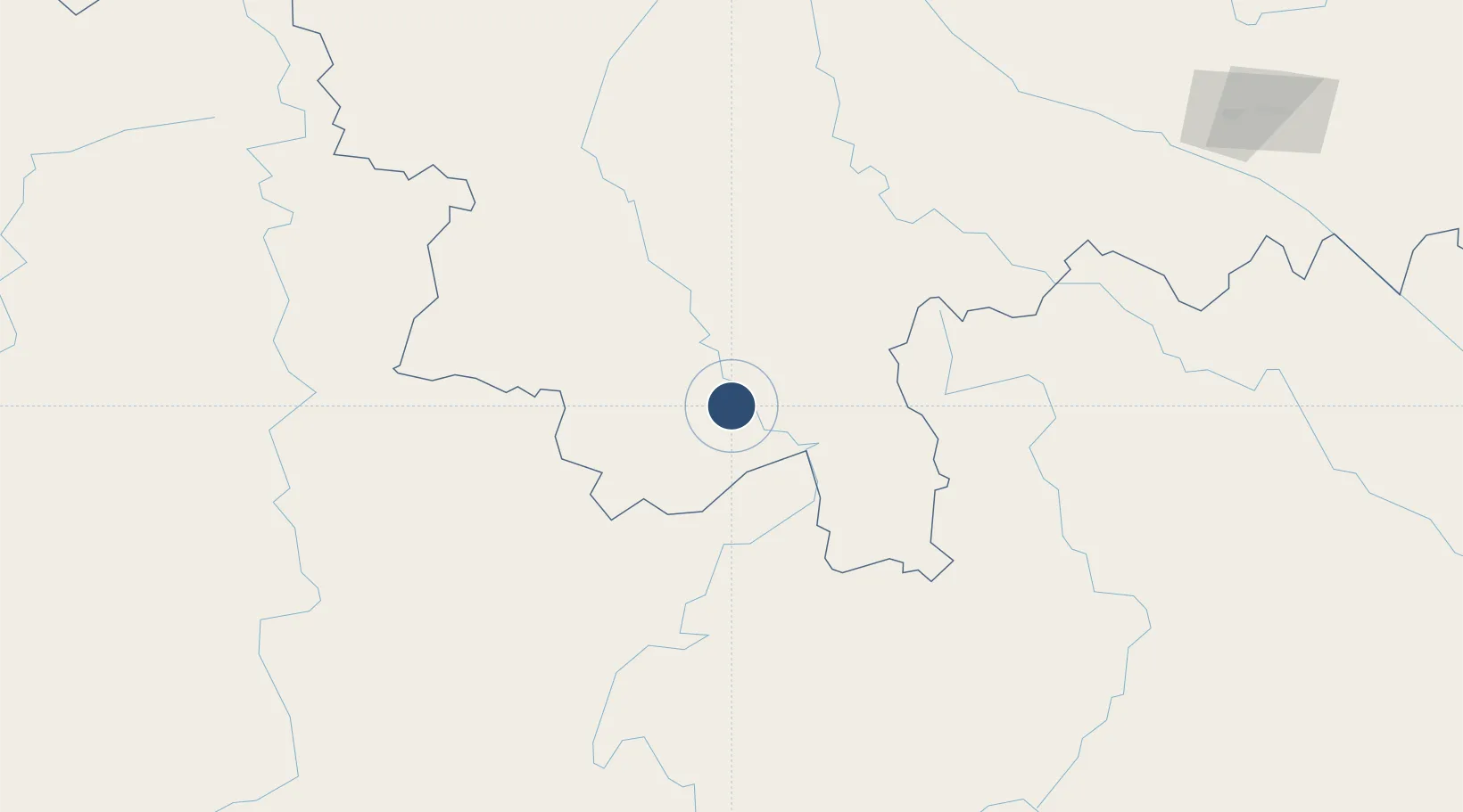
21.9746°, 100.7622°
7,874 ft
Longest runway
1
Runways
1,815 ft
Elevation

Runway & Layout

Xishuangbanna Gasa International Airport runway & taxiway layout
Runway & taxiway layout — OpenStreetMap (ODbL) / OurAirports

Radio Frequencies

ATIS
116.225 MHz
TWR
118.6 MHz
BANNA TWR
APP
119.1 MHz
BANNA APP
OurAirports

Navaids

BNN VOR-DME Xishuangbanna 116.30 MHz
JHG VOR-DME Ganlanba 112.50 MHz
OurAirports

Runways · 1

RunwayDimensions SurfaceTrue headingLit
16/34 7,874 × 148ft ASPH 160°
OurAirports

Airport Specifications

IATA code
JHG
OurAirports
ICAO code
ZPJH
OurAirports
Airport class
Large airport
OurAirports
Scheduled service
Yes
OurAirports
Runway surface
ASPH
OurAirports
Served city
Jinghong (Gasa)
OurAirports

Location

Location of ZPJH
Natural Earth 10m (public domain) · Yunnan · ZPJH · 21.97, 100.76GoogleOSMYandex

Nearby Logistics Neighbours

Airports
  1. 1Pu'er Simao Airport93 km
  2. 2Lancang Jingmai Airport112 km
  3. 3Luang Namtha Airport130 km
  4. 4Kengtung Airport138 km
  5. 5Tachileik Airport187 km
Nearest neighbours — logibook spatial index (haversine) over the source coordinates
Cities
  1. 1Jinghong6 km
  2. 2Simao94 km
  3. 3Jiangcheng Mengkang112 km
  4. 4Boten130 km
  5. 5Nateuy137 km
Nearest neighbours — logibook spatial index (haversine) over the source coordinates
Ports
  1. 1Hai Phong624 km
  2. 2Nghe Tinh632 km
  3. 3Hon Gai662 km
  4. 4Cam Pha691 km
  5. 5Rangoon753 km
Nearest neighbours — logibook spatial index (haversine) over the source coordinates
Trade Zones
  1. 1Menglian Meng-A Border Economic Cooperation Zone127 km
  2. 2Boten Special Economic Zone127 km
  3. 3Boten Beautiful Land Specific Economic Zone128 km
  4. 4Densavanh Border Trade Commercial Zone191 km
  5. 5Golden Triangle Special Economic Zone193 km
Nearest neighbours — logibook spatial index (haversine) over the source coordinates
DatabookThe Record of Consolidated Knowledge
China beyond logistics?
Browse databook

All Sources

AirportsOurAirports
Public domain
Portsthe NGA World Port Index
Public domain (US gov)
LocationsUN/LOCODE
UN/LOCODE — free
Trade Zonesthe World Bank SEZ database
CC BY 4.0
Trade ZonesOpen Zone Map
CC BY
InfrastructureOpenStreetMap
ODbL 1.0
← China airports