Medium airport · China

Lancang Jingmai AirportZPJM
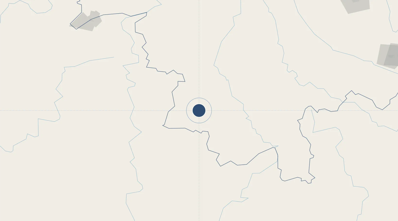
22.4177°, 99.7840°
8,530 ft
Longest runway
1
Runways

Runway & Layout

Lancang Jingmai Airport runway & taxiway layout
Runway & taxiway layout — OpenStreetMap (ODbL) / OurAirports

Runways · 1

RunwayDimensions SurfaceTrue headingLit
12/30 8,530 × 148ft
OurAirports

Airport Specifications

IATA code
JMJ
OurAirports
ICAO code
ZPJM
OurAirports
Airport class
Medium airport
OurAirports
Scheduled service
Yes
OurAirports
Served city
Pu'er (Lancang)
OurAirports

Location

Location of ZPJM
Natural Earth 10m (public domain) · Yunnan · ZPJM · 22.42, 99.78GoogleOSMYandex

Nearby Logistics Neighbours

Airports
  1. 1Cangyuan Washan Airport104 km
  2. 2Xishuangbanna Gasa International Airport112 km
  3. 3Kengtung Airport125 km
  4. 4Pu'er Simao Airport128 km
  5. 5Lincang Boshang Airport149 km
Nearest neighbours — logibook spatial index (haversine) over the source coordinates
Cities
  1. 1Jinghong114 km
  2. 2Simao129 km
  3. 3Jiangcheng Mengkang197 km
  4. 4Chiang Saen Customs House236 km
  5. 5Boten239 km
Nearest neighbours — logibook spatial index (haversine) over the source coordinates
Ports
  1. 1Hai Phong732 km
  2. 2Rangoon734 km
  3. 3Nghe Tinh743 km
  4. 4Sittwe757 km
  5. 5Hon Gai770 km
Nearest neighbours — logibook spatial index (haversine) over the source coordinates
Trade Zones
  1. 1Menglian Meng-A Border Economic Cooperation Zone22 km
  2. 2Lincang Industrial Park170 km
  3. 3Golden Triangle Special Economic Zone231 km
  4. 4Boten Special Economic Zone236 km
  5. 5Boten Beautiful Land Specific Economic Zone238 km
Nearest neighbours — logibook spatial index (haversine) over the source coordinates
DatabookThe Record of Consolidated Knowledge
China beyond logistics?
Browse databook

All Sources

AirportsOurAirports
Public domain
Portsthe NGA World Port Index
Public domain (US gov)
LocationsUN/LOCODE
UN/LOCODE — free
Trade Zonesthe World Bank SEZ database
CC BY 4.0
Trade ZonesOpen Zone Map
CC BY
InfrastructureOpenStreetMap
ODbL 1.0
← China airports