Diversified Zone · Cambodia

Doung Chhiv Phnom Den Special Economic Zone Under Development
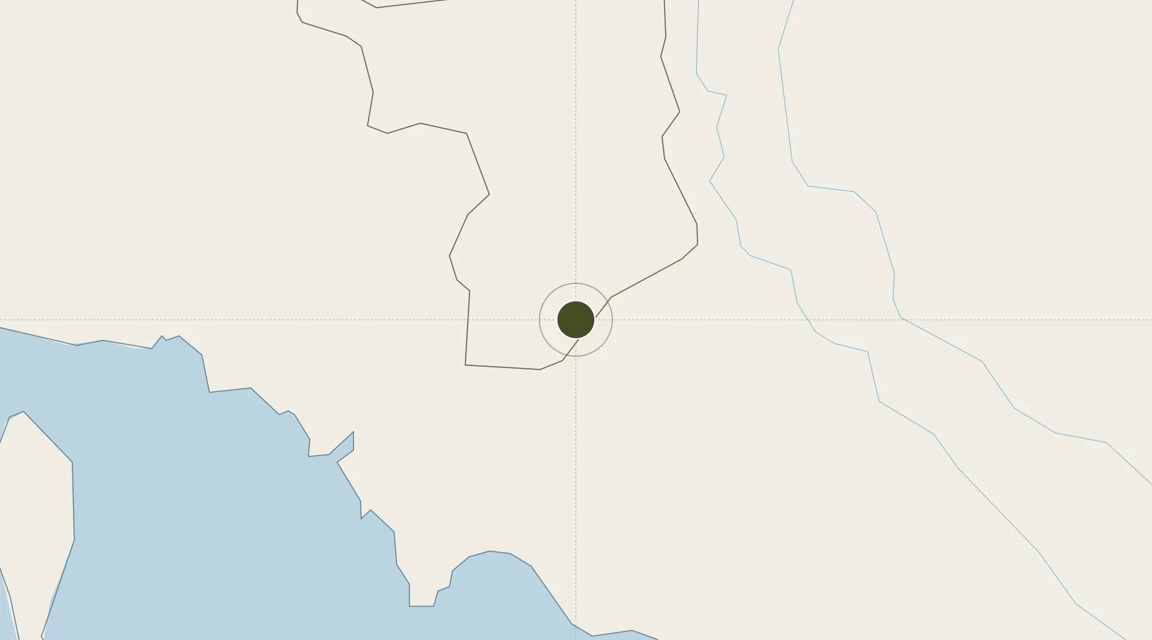
10.5954°, 104.8753°
79 ha
Zone area
107.9 km
Nearest port
76.2 km
Nearest airport

Gateway access

Nearest neighbours — logibook spatial index (haversine) over the source coordinates

Zone profile

Zone type
Diversified Zone
Open Zone Map
Region
Takêv
Open Zone Map
Status
Under Development
Open Zone Map
Management
Private
Open Zone Map
Operator
Doung Chhiv Special Economic Zone Ltd.
Open Zone Map
Legal framework
Sub Decre No140 dated 08 December 2006
Open Zone Map

Location

Location of ozm-5103
Natural Earth 10m (public domain) · Takêv · ozm-5103 · 10.60, 104.88GoogleOSMYandex

Nearby Logistics Neighbours

Ports
  1. 1Duong Dong108 km
  2. 2Kampong Saom150 km
  3. 3Thanh Ho Chi Minh202 km
  4. 4Thanh Hoa208 km
  5. 5Cat Lai209 km
Nearest neighbours — logibook spatial index (haversine) over the source coordinates
Airports
  1. 1Rach Gia Airport76 km
  2. 2Techo International Airport85 km
  3. 3Phnom Penh International Airport106 km
  4. 4Phú Quốc International Airport107 km
  5. 5Can Tho International Airport108 km
Nearest neighbours — logibook spatial index (haversine) over the source coordinates
Cities
  1. 1Binh Long Port41 km
  2. 2Dong Thap77 km
  3. 3Ta Khmau99 km
  4. 4Sa Déc103 km
  5. 5Phnom Penh104 km
Nearest neighbours — logibook spatial index (haversine) over the source coordinates
Trade Zones
  1. 1Ha Tien Border-Gate Economic Zone49 km
  2. 2Kampot Special Economic Zone76 km
  3. 3Goldfame Pak Shun Special Economic Zone86 km
  4. 4Suvannaphum Special Economic Zone90 km
  5. 5Kerry Worldbridge Special Economic Zone95 km
Nearest neighbours — logibook spatial index (haversine) over the source coordinates
DatabookThe Record of Consolidated Knowledge
Cambodia beyond logistics?
Browse databook

All Sources

Trade ZonesOpen Zone Map
CC BY
Portsthe NGA World Port Index
Public domain (US gov)
AirportsOurAirports
Public domain
LocationsUN/LOCODE
UN/LOCODE — free
← Cambodia trade zones