General Industrial Estate · Thailand

Bangchan Industrial Estate Active
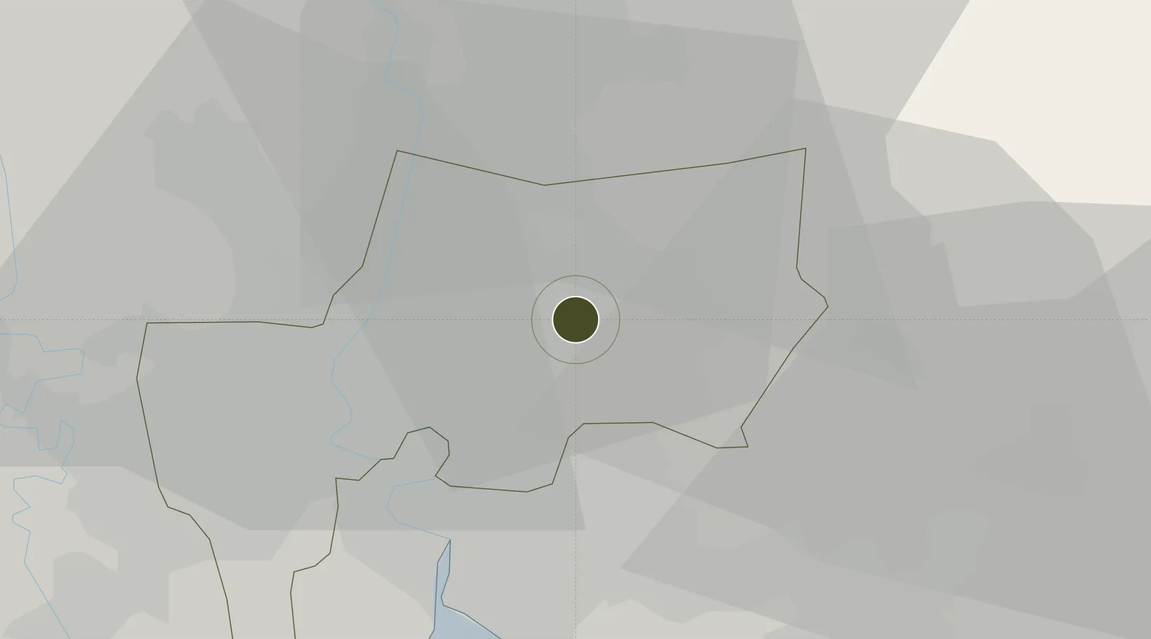
13.8018°, 100.7062°
83 ha
Zone area
23.0 km
Nearest port
14.1 km
Nearest airport

Gateway access

Nearest neighbours — logibook spatial index (haversine) over the source coordinates

Zone profile

Zone type
General Industrial Estate
the World Bank SEZ database
Region
Bangkok Metropolis
the World Bank SEZ database
Status
Active
the World Bank SEZ database
Established
1972
the World Bank SEZ database
Management
Public agency
the World Bank SEZ database
Operator
Industrial Estate Authority of Thailand
the World Bank SEZ database
Regulatory authority
Industrial Estate Authority of Thailand
the World Bank SEZ database
Legal framework
Industrial Estate Authority of Thailand Act
the World Bank SEZ database

Location

Location of THA3
Natural Earth 10m (public domain) · Bangkok Metropolis · THA3 · 13.80, 100.71GoogleOSMYandex

Fiscal & incentives

Corporate tax
20%
the World Bank SEZ database
Tax relief
No exemption
the World Bank SEZ database
Relief duration
No exemption
the World Bank SEZ database
VAT
No exemption
the World Bank SEZ database
Import duty (inputs)
0% exempt
the World Bank SEZ database
Import duty (capex)
0% exempt
the World Bank SEZ database
Profit repatriation
No exemption
the World Bank SEZ database
Capital gains
No exemption
the World Bank SEZ database
Withholding tax
No exemption
the World Bank SEZ database
Min. investment
None
the World Bank SEZ database
Min. export
0%
the World Bank SEZ database
Employment incentive
No exemption
the World Bank SEZ database
Developer incentive
No established framework
the World Bank SEZ database

Nearby Logistics Neighbours

Ports
  1. 1Bangkok23 km
  2. 2Ko Si Chang Terminal72 km
  3. 3Si Racha Terminal74 km
  4. 4Siam Seaport77 km
  5. 5Laem Chabang82 km
Nearest neighbours — logibook spatial index (haversine) over the source coordinates
Airports
  1. 1Suvarnabhumi Airport14 km
  2. 2Don Mueang International Airport16 km
  3. 3Kamphaeng Saen Airport92 km
  4. 4Khok Kathiam Airport119 km
  5. 5U-Tapao–Rayong–Pattaya International Airport129 km
Nearest neighbours — logibook spatial index (haversine) over the source coordinates
Cities
  1. 1Lat Krabang11 km
  2. 2Samut Prakan14 km
  3. 3Phra Khanong16 km
  4. 4Bangkok16 km
  5. 5Phahon Yothin Customs House19 km
Nearest neighbours — logibook spatial index (haversine) over the source coordinates
Trade Zones
  1. 1Banbung Patana Industrial Estate10 km
  2. 2Lat Krabang Industrial Estate10 km
  3. 3Gemopolis Industrial Estate13 km
  4. 4V.R.M. Ratchaburi Industrial Estate14 km
  5. 5Indra Industrial Park20 km
Nearest neighbours — logibook spatial index (haversine) over the source coordinates
DatabookThe Record of Consolidated Knowledge
Thailand beyond logistics?
Browse databook

All Sources

Trade Zonesthe World Bank SEZ database
CC BY 4.0
Portsthe NGA World Port Index
Public domain (US gov)
AirportsOurAirports
Public domain
LocationsUN/LOCODE
UN/LOCODE — free
← Thailand trade zones