UN/LOCODE hub · India
INAMR

Ambatturai (Ambathurai)

10.2667°, 77.9333°
1
Transport functions

Transport Functions

Multimodal
UN/LOCODE

Hub Profile

Region
TN
GeoNames

Location

Location of INAMR
Natural Earth 10m (public domain) · TN · INAMR · 10.27, 77.93GoogleOSMYandex

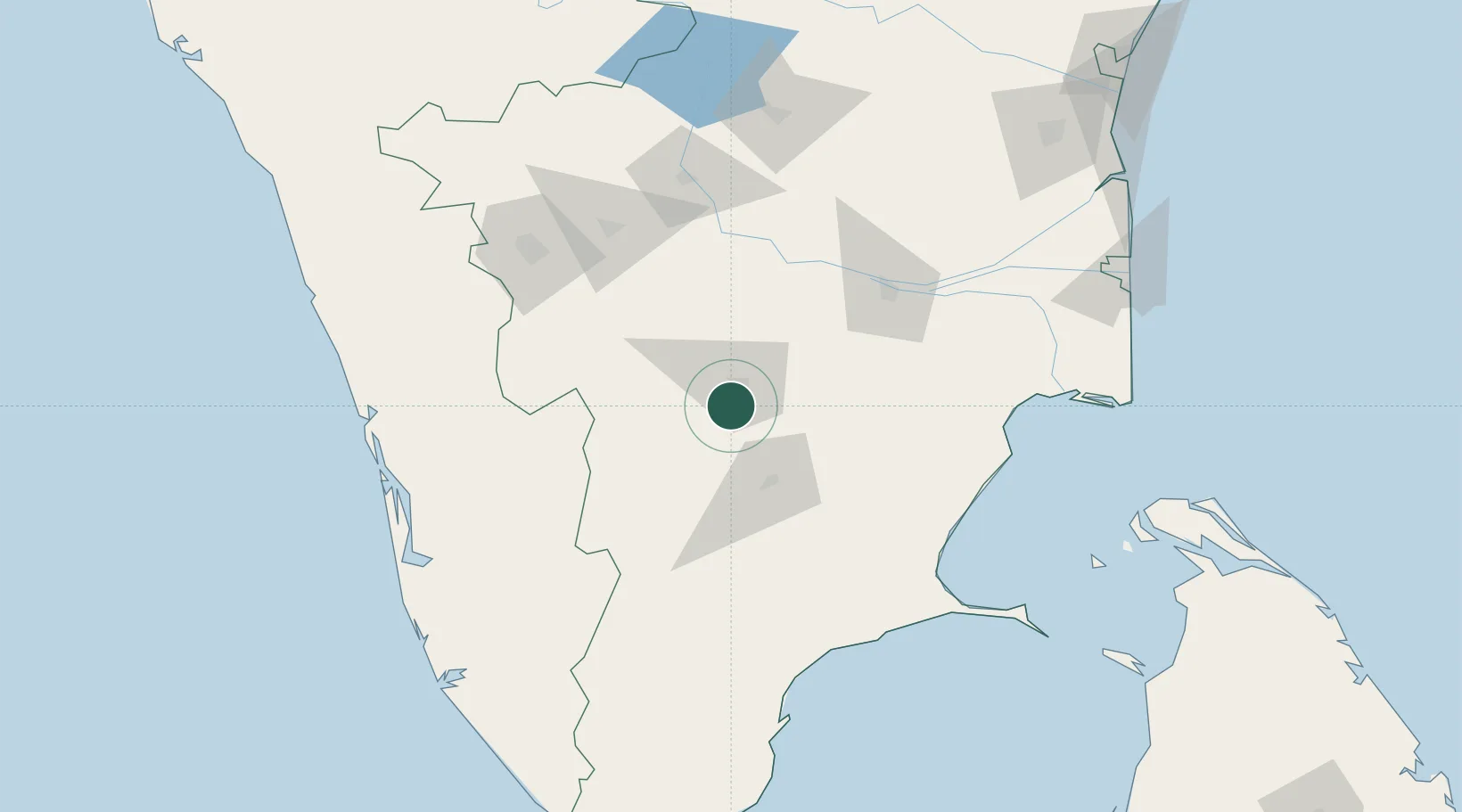
Nearby Logistics Neighbours

Cities
  1. 1ECTN SEZ/Madurai-II42 km
  2. 2RTPL SEZ/Madurai42 km
  3. 3ECTN SEZ/Madurai-I42 km
  4. 4Kern Icd/Madurai43 km
  5. 5Madurai47 km
Nearest neighbours — logibook spatial index (haversine) over the source coordinates
Ports
  1. 1Tuticorin165 km
  2. 2Kochi (Cochin)189 km
  3. 3Quilon (Kollam)214 km
  4. 4Nagappattinam217 km
  5. 5Karaikal Port221 km
Nearest neighbours — logibook spatial index (haversine) over the source coordinates
Airports
  1. 1Madurai Airport51 km
  2. 2Tiruchirappalli International Airport102 km
  3. 3Coimbatore International Airport129 km
  4. 4Cochin International Airport168 km
  5. 5Salem Airport169 km
Nearest neighbours — logibook spatial index (haversine) over the source coordinates
Trade Zones
  1. 1Aspen Karumathamapatti Special Economic Zone (Formerly Aspen)127 km
  2. 2Span Ventures128 km
  3. 3Rathinam Techzone128 km
  4. 4M s. Smart City (Kochi) Infrastructure Limited174 km
  5. 5Infopark Kochi174 km
Nearest neighbours — logibook spatial index (haversine) over the source coordinates
DatabookThe Record of Consolidated Knowledge
India beyond logistics?
Browse databook

All Sources

LocationsUN/LOCODE
UN/LOCODE — free
Portsthe NGA World Port Index
Public domain (US gov)
AirportsOurAirports
Public domain
Trade Zonesthe World Bank SEZ database
CC BY 4.0
Trade ZonesOpen Zone Map
CC BY
← India locations