Export Processing Zone · Bangladesh

Comilla Export Processing Zone Active
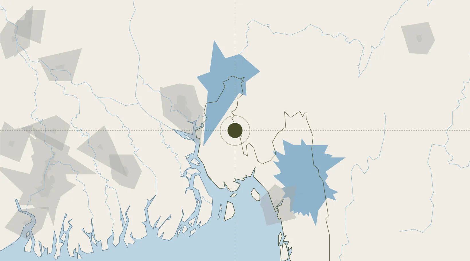
23.4446°, 91.1861°
108 ha
Zone area
141.1 km
Nearest port
49.5 km
Nearest airport

Gateway access

Nearest neighbours — logibook spatial index (haversine) over the source coordinates

Zone profile

Zone type
Export Processing Zone
the World Bank SEZ database
Region
Chittagong
the World Bank SEZ database
Status
Active
the World Bank SEZ database
Established
2000
the World Bank SEZ database
Management
Public agency
the World Bank SEZ database
Operator
BEPZA
the World Bank SEZ database
Regulatory authority
Bangladesh Export Processing Zones Authority (BEPZA)
the World Bank SEZ database
Legal framework
Bangladesh Export Processing Zone Act
the World Bank SEZ database

Location

Location of BGD3
Natural Earth 10m (public domain) · Chittagong · BGD3 · 23.44, 91.19GoogleOSMYandex

Fiscal & incentives

Corporate tax
25%
the World Bank SEZ database
Tax relief
100% exempt
the World Bank SEZ database
Relief duration
3 years
the World Bank SEZ database
VAT
No exemption
the World Bank SEZ database
Import duty (inputs)
100% exempt
the World Bank SEZ database
Import duty (capex)
100% exempt
the World Bank SEZ database
Profit repatriation
100% exempt from repatriation tax on capital and dividends
the World Bank SEZ database
Capital gains
No exemption
the World Bank SEZ database
Withholding tax
100% exempt from dividend tax
the World Bank SEZ database
Min. investment
None
the World Bank SEZ database
Min. export
90%
the World Bank SEZ database
Employment incentive
No exemption
the World Bank SEZ database
Developer incentive
No established framework
the World Bank SEZ database

Nearby Logistics Neighbours

Ports
  1. 1Chittagong141 km
  2. 2Mongla195 km
  3. 3Calcutta309 km
  4. 4Haldia Port356 km
  5. 5Sittwe409 km
Nearest neighbours — logibook spatial index (haversine) over the source coordinates
Airports
  1. 1Agartala - Maharaja Bir Bikram Airport50 km
  2. 2Hazrat Shahjalal International Airport92 km
  3. 3Barisal Airport115 km
  4. 4Kailashahar Airport127 km
  5. 5Shah Amanat International Airport148 km
Nearest neighbours — logibook spatial index (haversine) over the source coordinates
Cities
  1. 1Ashuganj68 km
  2. 2Narayanganj70 km
  3. 3Munshiganj70 km
  4. 4Narsingdi71 km
  5. 5Panchashar71 km
Nearest neighbours — logibook spatial index (haversine) over the source coordinates
Trade Zones
  1. 1Alliance Economic Zone50 km
  2. 2Chandpur Economic Zone - 150 km
  3. 3Abdul Monem Private Economic Zone51 km
  4. 4Nayanpur Economic Zone (A Japan-Bangladesh G2G Economic Zone)55 km
  5. 5Comilla Economic Zone57 km
Nearest neighbours — logibook spatial index (haversine) over the source coordinates
DatabookThe Record of Consolidated Knowledge
Bangladesh beyond logistics?
Browse databook

All Sources

Trade Zonesthe World Bank SEZ database
CC BY 4.0
Portsthe NGA World Port Index
Public domain (US gov)
AirportsOurAirports
Public domain
LocationsUN/LOCODE
UN/LOCODE — free
← Bangladesh trade zones