Transport Functions
Multimodal
Hub Profile
Place type
Populated place
Region
Maharashtra
Population
550,564
Time zone
Asia/Kolkata
Elevation
363 m
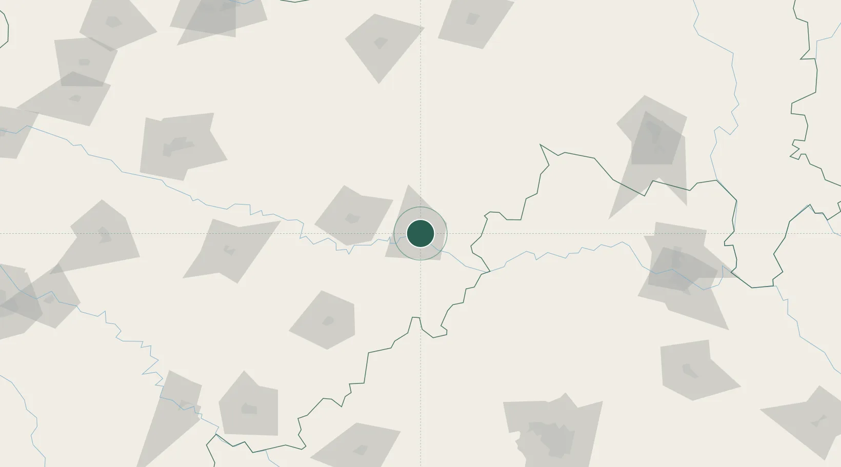
Location
Nearby Logistics Neighbours
Cities
- 1Gurgaon21 km
- 2Santa-SEZ/Muppireddipally158 km
- 3Rll-SEZ/Medak158 km
- 4APIICL-SEZ/Medak158 km
- 5VBTL-SEZ/Medak158 km
Ports
- 1Jawaharlal Nehru Port (Nhava Shiva)461 km
- 2Mumbai (Bombay)470 km
- 3Port Dabhol473 km
- 4Jaigarh Bay481 km
- 5Ratnagiri491 km
Airports
- 1Nanded Airport4 km
- 2Murod Kond Airport123 km
- 3Bidar Airport / Bidar Air Force Station139 km
- 4Sant Gadge Baba Yavatmal Airport167 km
- 5Akola Airport175 km
DatabookThe Record of Consolidated Knowledge
India beyond logistics?