Transport Functions
Multimodal
Hub Profile
Place type
Populated place
Region
Maharashtra
Time zone
Asia/Kolkata
Elevation
399 m
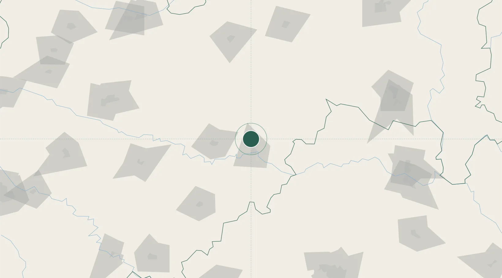
Location
Nearby Logistics Neighbours
Cities
- 1Nanded21 km
- 2Ambad159 km
- 3Santa-SEZ/Muppireddipally178 km
- 4Rll-SEZ/Medak178 km
- 5APIICL-SEZ/Medak178 km
Ports
- 1Jawaharlal Nehru Port (Nhava Shiva)457 km
- 2Mumbai (Bombay)466 km
- 3Port Dabhol476 km
- 4Jaigarh Bay485 km
- 5Ratnagiri497 km
Airports
- 1Nanded Airport17 km
- 2Murod Kond Airport134 km
- 3Sant Gadge Baba Yavatmal Airport153 km
- 4Akola Airport154 km
- 5Bidar Airport / Bidar Air Force Station160 km
DatabookThe Record of Consolidated Knowledge
India beyond logistics?