Medium airport · Georgia

Vaziani Air BaseUG27
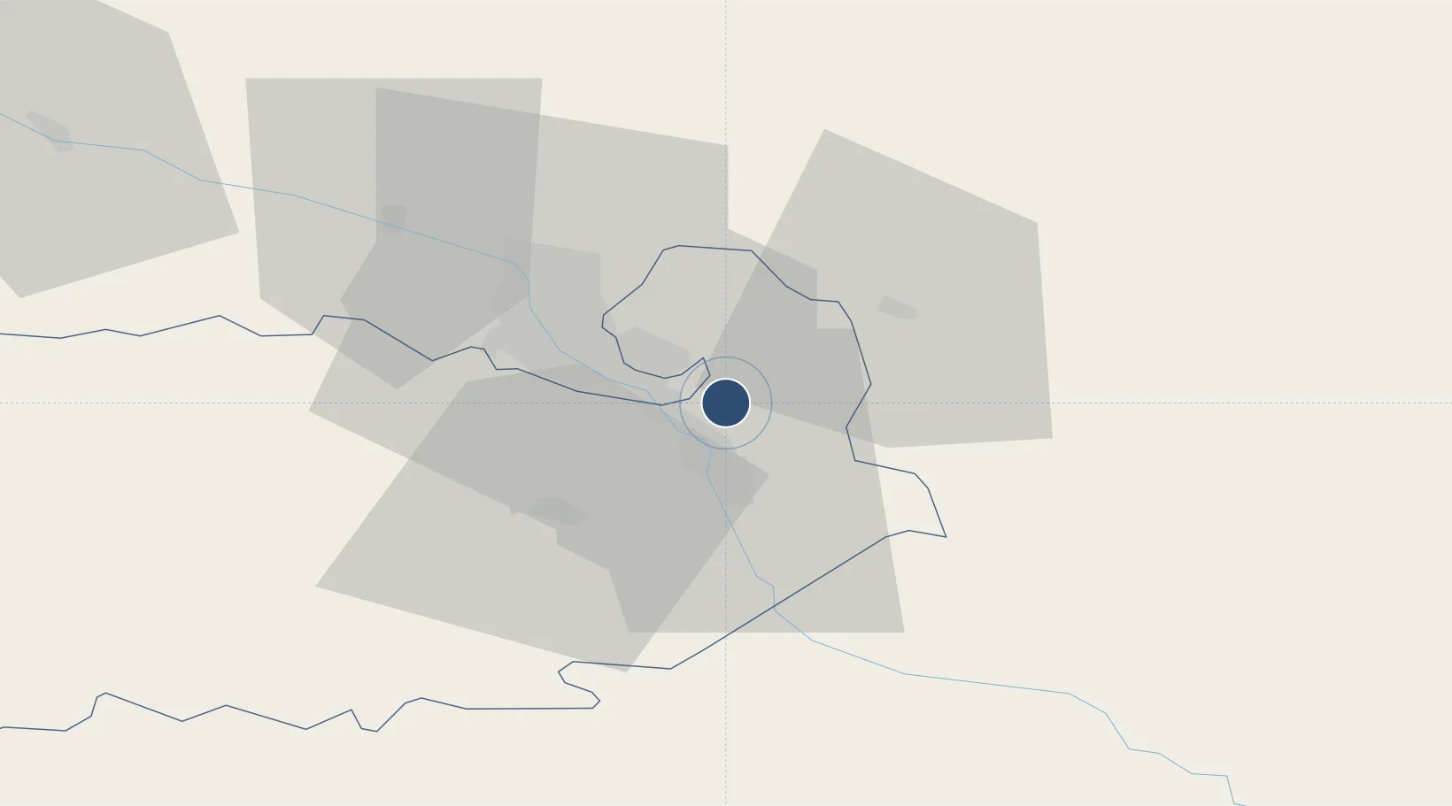
41.6280°, 45.0308°
8,205 ft
Longest runway
1
Runways
1,460 ft
Elevation

Runway & Layout

Vaziani Air Base runway & taxiway layout
Runway & taxiway layout — OpenStreetMap (ODbL) / OurAirports

Runways · 1

RunwayDimensions SurfaceTrue headingLit
14/32 8,205 × 175ft Concrete 143°
OurAirports

Airport Specifications

Airport class
Medium airport
OurAirports
Scheduled service
No
OurAirports
Runway surface
Concrete
OurAirports
Served city
Gamarjveba 1
OurAirports

Location

Location of UG27
Natural Earth 10m (public domain) · Kvemo Kartli · UG27 · 41.63, 45.03GoogleOSMYandex

Nearby Logistics Neighbours

Airports
  1. 1Tbilisi International Airport8 km
  2. 2Tbilisi Soganlug Air Base8 km
  3. 3Tbilisi Marneuli Air Base28 km
  4. 4Natakhtari Airfield42 km
  5. 5Dollyar Air Base113 km
Nearest neighbours — logibook spatial index (haversine) over the source coordinates
Cities
  1. 1Vaziani6 km
  2. 2Rustavi11 km
  3. 3Khashmi18 km
  4. 4Mtskheta36 km
  5. 5Orkhevi38 km
Nearest neighbours — logibook spatial index (haversine) over the source coordinates
Ports
  1. 1Supsa Marine Terminal279 km
  2. 2Batumi281 km
  3. 3Hopa303 km
  4. 4Sokhumi365 km
  5. 5Rize382 km
Nearest neighbours — logibook spatial index (haversine) over the source coordinates
Trade Zones
  1. 1Tbilisi Free Industrial Zone24 km
  2. 2Ecos Free Economic Zone122 km
  3. 3Gyumri Eurasian Logistic Park139 km
  4. 4Jrvezh Engineering City163 km
  5. 5Alliance Free Zone166 km
Nearest neighbours — logibook spatial index (haversine) over the source coordinates
DatabookThe Record of Consolidated Knowledge
Georgia beyond logistics?
Browse databook

All Sources

AirportsOurAirports
Public domain
Portsthe NGA World Port Index
Public domain (US gov)
LocationsUN/LOCODE
UN/LOCODE — free
Trade Zonesthe World Bank SEZ database
CC BY 4.0
Trade ZonesOpen Zone Map
CC BY
InfrastructureOpenStreetMap
ODbL 1.0
← Georgia airports