Transport Functions
Multimodal
Hub Profile
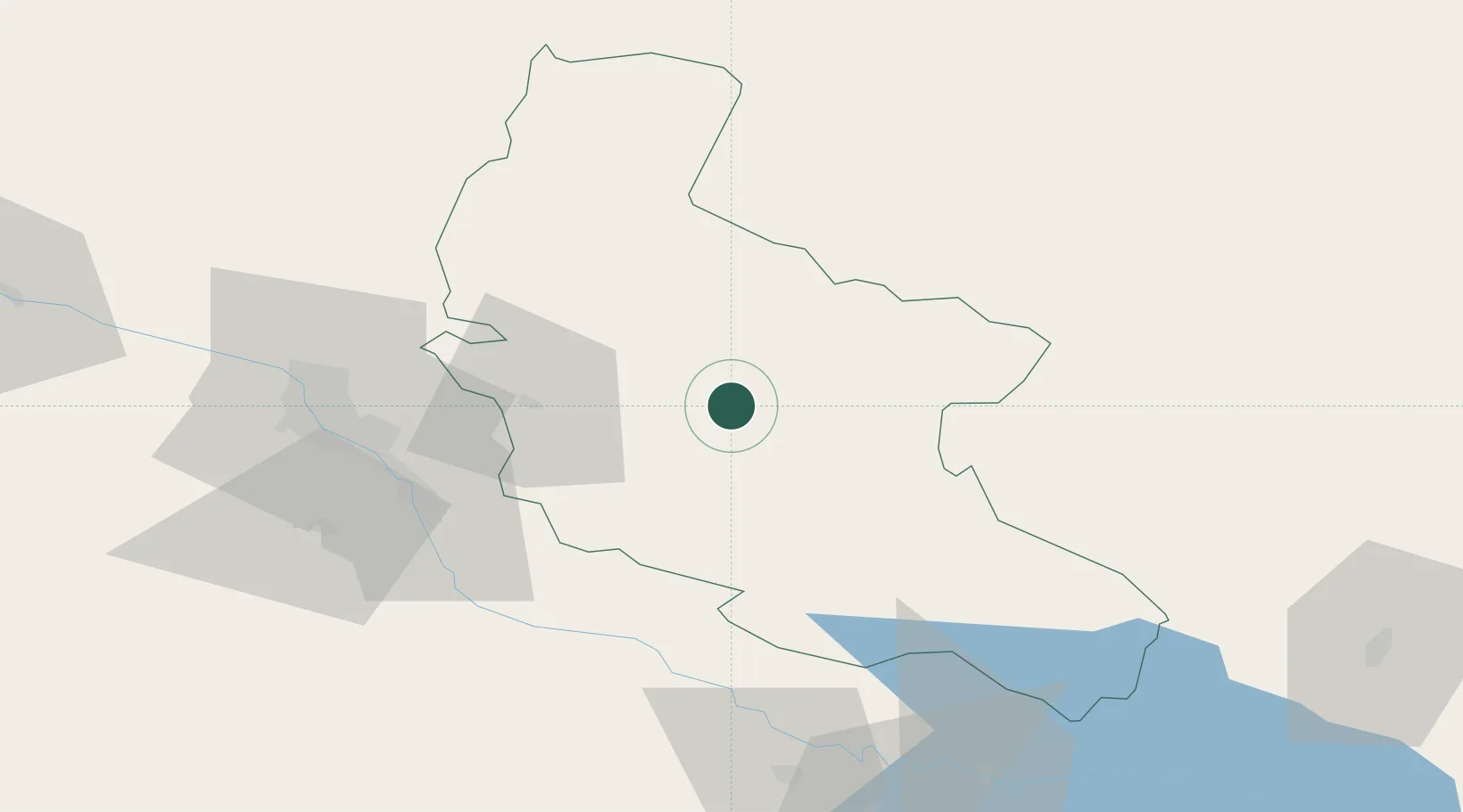
Region
TB
Location
Nearby Logistics Neighbours
Ports
- 1Supsa Marine Terminal333 km
- 2Batumi338 km
- 3Hopa361 km
- 4Sokhumi412 km
- 5Rize440 km
Airports
Trade Zones
DatabookThe Record of Consolidated Knowledge
Georgia beyond logistics?