Small airport · Kazakhstan
Zaysan AirportUASZ
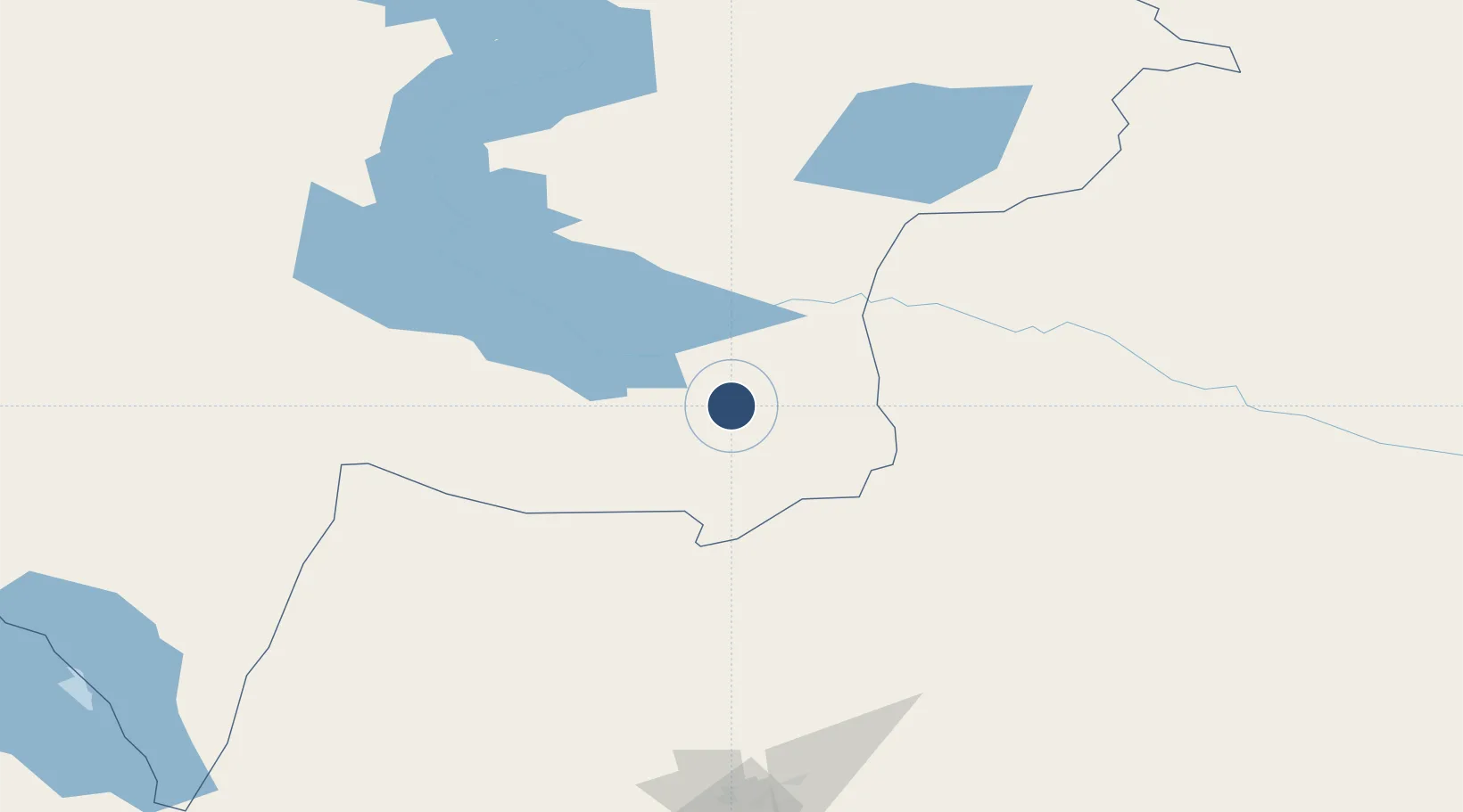
47.4875°, 84.8877°
4,938 ft
Longest runway
1
Runways
1,877 ft
Elevation
Runway & Layout

Runways · 1
| Runway | Dimensions | Surface | True heading | Lit |
|---|---|---|---|---|
| 09/27 | 4,938 × 115ft | Concrete | — | — |
Airport Specifications
IATA code
SZI
ICAO code
UASZ
Airport class
Small airport
Scheduled service
Yes
Runway surface
Concrete
Served city
Zaysan
Location
Nearby Logistics Neighbours
Airports
- 1Tacheng Qianquan Airport148 km
- 2Burqin Kanas Airport177 km
- 3Karamay Airport225 km
- 4Altay Xuedu Airport242 km
- 5Urzhar Airport247 km
Cities
- 1Gisikon182 km
- 2Altay245 km
- 3Alashankou309 km
- 4Dosytk310 km
- 5Alatawshankou318 km
Ports
- 1Igarka2223 km
- 2Dudinka2438 km
- 3Calcutta2790 km
- 4Mongla2814 km
- 5Haldia Port2847 km
Trade Zones
DatabookThe Record of Consolidated Knowledge
Kazakhstan beyond logistics?