Medium airport · China

Altay Xuedu AirportZWAT
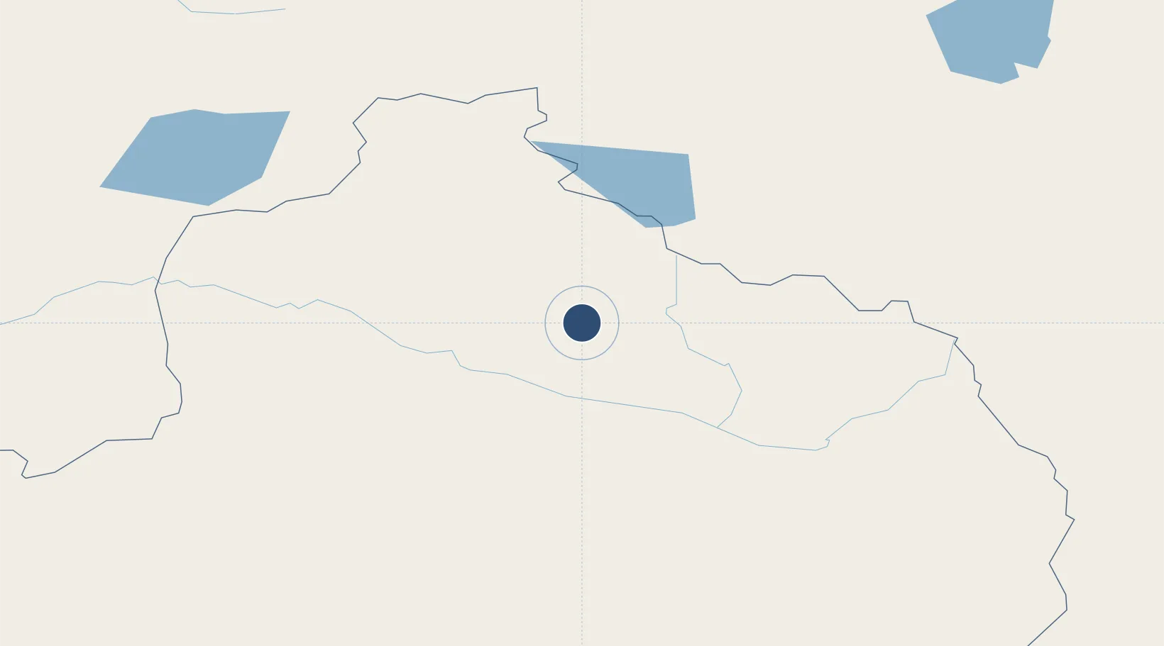
47.7499°, 88.0858°
7,218 ft
Longest runway
1
Runways
2,460 ft
Elevation

Runway & Layout

Altay Xuedu Airport runway & taxiway layout
Runway & taxiway layout — OpenStreetMap (ODbL) / OurAirports

Runways · 1

RunwayDimensions SurfaceTrue headingLit
12/30 7,218 × —ft Concrete
OurAirports

Airport Specifications

IATA code
AAT
OurAirports
ICAO code
ZWAT
OurAirports
Airport class
Medium airport
OurAirports
Scheduled service
Yes
OurAirports
Runway surface
Concrete
OurAirports
Served city
Altay
OurAirports

Location

Location of ZWAT
Natural Earth 10m (public domain) · Xinjiang · ZWAT · 47.75, 88.09GoogleOSMYandex

Nearby Logistics Neighbours

Airports
  1. 1Burqin Kanas Airport97 km
  2. 2Fuyun Koktokay Airport150 km
  3. 3Ölgii Mongolei International Airport194 km
  4. 4Zaysan Airport242 km
  5. 5Khovd Airport265 km
Nearest neighbours — logibook spatial index (haversine) over the source coordinates
Cities
  1. 1Altay13 km
  2. 2Bussnang150 km
  3. 3Limeshain300 km
  4. 4Gisikon406 km
  5. 5Manas410 km
Nearest neighbours — logibook spatial index (haversine) over the source coordinates
Ports
  1. 1Igarka2193 km
  2. 2Dudinka2410 km
  3. 3Calcutta2802 km
  4. 4Mongla2815 km
  5. 5Chittagong2848 km
Nearest neighbours — logibook spatial index (haversine) over the source coordinates
Trade Zones
  1. 1Fuhai Industrial Park70 km
  2. 2Heilongjiang Fuyun Industrial Park141 km
  3. 3Tsagaannuur Special Economic Zone223 km
  4. 4Karamay Cloud Computing Industrial Park350 km
  5. 5Zhundong Industrial Park of Xinjiang Corps385 km
Nearest neighbours — logibook spatial index (haversine) over the source coordinates
DatabookThe Record of Consolidated Knowledge
China beyond logistics?
Browse databook

All Sources

AirportsOurAirports
Public domain
Portsthe NGA World Port Index
Public domain (US gov)
LocationsUN/LOCODE
UN/LOCODE — free
Trade Zonesthe World Bank SEZ database
CC BY 4.0
Trade ZonesOpen Zone Map
CC BY
InfrastructureOpenStreetMap
ODbL 1.0
← China airports