Runway & Layout

Airport Specifications
IATA code
UZR
ICAO code
UASU
Airport class
Small airport
Scheduled service
Yes
Served city
Urzhar
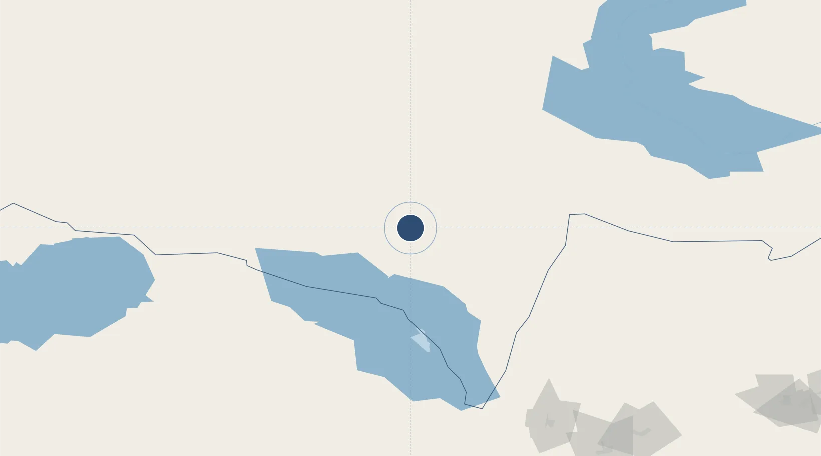
Location
Nearby Logistics Neighbours
Airports
- 1Usharal Airport119 km
- 2Ayaguz Airport130 km
- 3Tacheng Qianquan Airport136 km
- 4Zhangiztobe Air Base238 km
- 5Zaysan Airport247 km
Cities
- 1Gisikon141 km
- 2Dosytk214 km
- 3Alatawshankou220 km
- 4Alashankou222 km
- 5Horgos344 km
Ports
- 1Igarka2282 km
- 2Dudinka2493 km
- 3Muhamamad Bin Qasim2787 km
- 4Calcutta2793 km
- 5Karachi2800 km
Trade Zones
DatabookThe Record of Consolidated Knowledge
Kazakhstan beyond logistics?