Medium airport · China

Burqin Kanas AirportZWKN
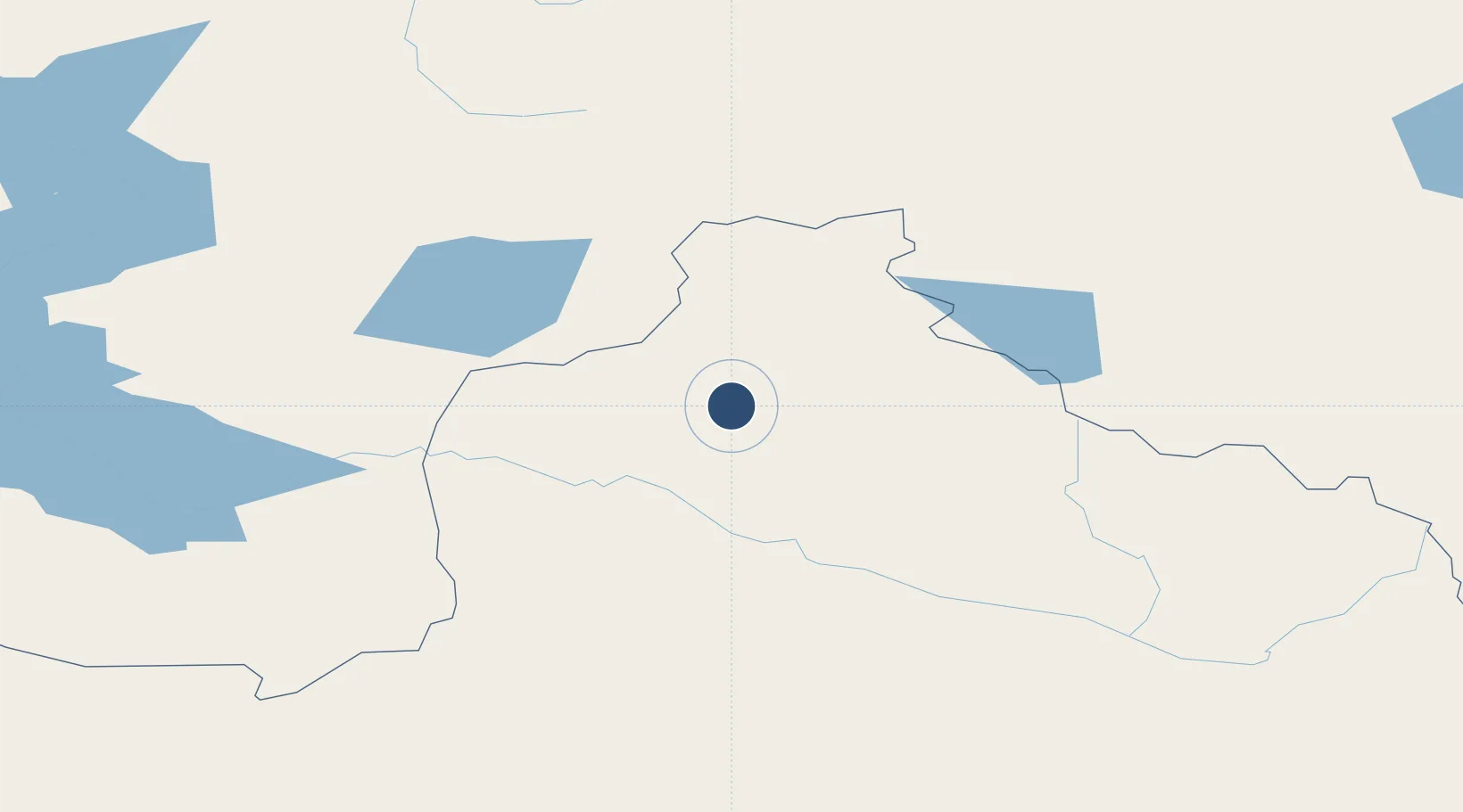
48.2223°, 86.9959°
8,202 ft
Longest runway
1
Runways
3,921 ft
Elevation

Runway & Layout

Burqin Kanas Airport runway & taxiway layout
Runway & taxiway layout — OpenStreetMap (ODbL) / OurAirports

Runways · 1

RunwayDimensions SurfaceTrue headingLit
12/30 8,202 × —ft Concrete
OurAirports

Airport Specifications

IATA code
KJI
OurAirports
ICAO code
ZWKN
OurAirports
Airport class
Medium airport
OurAirports
Scheduled service
Yes
OurAirports
Runway surface
Concrete
OurAirports
Served city
Burqin
OurAirports

Location

Location of ZWKN
Natural Earth 10m (public domain) · Xinjiang · ZWKN · 48.22, 87.00GoogleOSMYandex

Nearby Logistics Neighbours

Airports
  1. 1Altay Xuedu Airport97 km
  2. 2Zaysan Airport177 km
  3. 3Ölgii Mongolei International Airport232 km
  4. 4Fuyun Koktokay Airport246 km
  5. 5Tacheng Qianquan Airport324 km
Nearest neighbours — logibook spatial index (haversine) over the source coordinates
Cities
  1. 1Altay92 km
  2. 2Limeshain228 km
  3. 3Bussnang241 km
  4. 4Gisikon321 km
  5. 5Erbenheim356 km
Nearest neighbours — logibook spatial index (haversine) over the source coordinates
Ports
  1. 1Igarka2139 km
  2. 2Dudinka2355 km
  3. 3Port Dikson2830 km
  4. 4Calcutta2857 km
  5. 5Mongla2873 km
Nearest neighbours — logibook spatial index (haversine) over the source coordinates
Trade Zones
  1. 1Fuhai Industrial Park128 km
  2. 2Heilongjiang Fuyun Industrial Park238 km
  3. 3Tsagaannuur Special Economic Zone238 km
  4. 4Karamay Cloud Computing Industrial Park341 km
  5. 5Nine Division Baktu Industrial Park358 km
Nearest neighbours — logibook spatial index (haversine) over the source coordinates
DatabookThe Record of Consolidated Knowledge
China beyond logistics?
Browse databook

All Sources

AirportsOurAirports
Public domain
Portsthe NGA World Port Index
Public domain (US gov)
LocationsUN/LOCODE
UN/LOCODE — free
Trade Zonesthe World Bank SEZ database
CC BY 4.0
Trade ZonesOpen Zone Map
CC BY
InfrastructureOpenStreetMap
ODbL 1.0
← China airports