Small airport · China

Tacheng Qianquan AirportZWTC
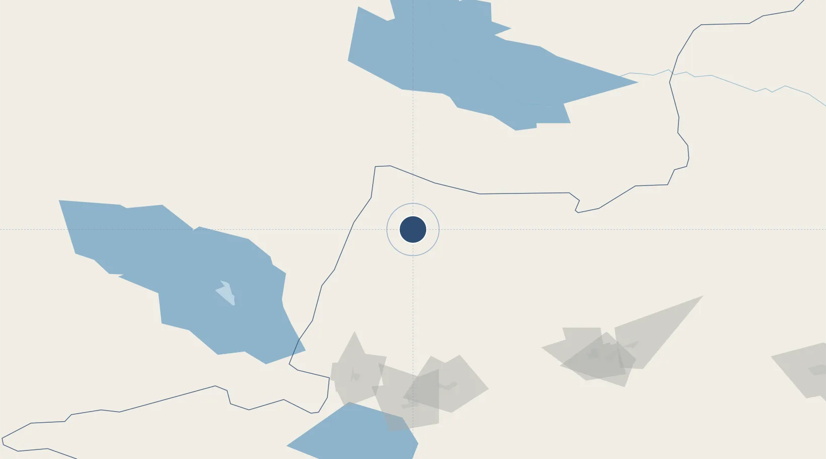
46.6725°, 83.3408°
7,808 ft
Longest runway
1
Runways

Runway & Layout

Tacheng Qianquan Airport runway & taxiway layout
Runway & taxiway layout — OpenStreetMap (ODbL) / OurAirports

Runways · 1

RunwayDimensions SurfaceTrue headingLit
12/30 7,808 × 148ft
OurAirports

Airport Specifications

IATA code
TCG
OurAirports
ICAO code
ZWTC
OurAirports
Airport class
Small airport
OurAirports
Scheduled service
Yes
OurAirports
Served city
Tacheng
OurAirports

Location

Location of ZWTC
Natural Earth 10m (public domain) · Xinjiang · ZWTC · 46.67, 83.34GoogleOSMYandex

Nearby Logistics Neighbours

Airports
  1. 1Urzhar Airport136 km
  2. 2Zaysan Airport148 km
  3. 3Karamay Airport183 km
  4. 4Usharal Airport200 km
  5. 5Bole Alashankou Airport213 km
Nearest neighbours — logibook spatial index (haversine) over the source coordinates
Cities
  1. 1Dosytk172 km
  2. 2Alashankou174 km
  3. 3Gisikon174 km
  4. 4Alatawshankou180 km
  5. 5Dushanzi285 km
Nearest neighbours — logibook spatial index (haversine) over the source coordinates
Ports
  1. 1Igarka2319 km
  2. 2Dudinka2532 km
  3. 3Calcutta2720 km
  4. 4Mongla2750 km
  5. 5Haldia Port2775 km
Nearest neighbours — logibook spatial index (haversine) over the source coordinates
Trade Zones
  1. 1Nine Division Baktu Industrial Park41 km
  2. 2Karamay Cloud Computing Industrial Park170 km
  3. 3Jinghe Industrial Park236 km
  4. 4Seventh Division Fifth Five Industrial Park267 km
  5. 5Fuhai Industrial Park337 km
Nearest neighbours — logibook spatial index (haversine) over the source coordinates
DatabookThe Record of Consolidated Knowledge
China beyond logistics?
Browse databook

All Sources

AirportsOurAirports
Public domain
Portsthe NGA World Port Index
Public domain (US gov)
LocationsUN/LOCODE
UN/LOCODE — free
Trade Zonesthe World Bank SEZ database
CC BY 4.0
Trade ZonesOpen Zone Map
CC BY
InfrastructureOpenStreetMap
ODbL 1.0
← China airports