Transport Functions
Multimodal
Hub Profile
Place type
Populated place
Region
Lucerne
Time zone
Europe/Zurich
Elevation
480 m
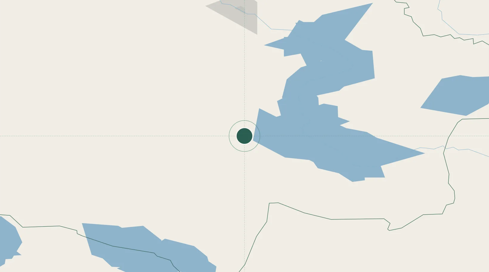
Location
Nearby Logistics Neighbours
Cities
- 1Erbenheim215 km
- 2Löhnberg268 km
- 3Waigandshain306 km
- 4Dosytk325 km
- 5Alashankou330 km
Ports
- 1Igarka2157 km
- 2Dudinka2369 km
- 3Port Dikson2820 km
- 4Calcutta2893 km
- 5Mongla2923 km
Airports
- 1Urzhar Airport141 km
- 2Zhangiztobe Air Base153 km
- 3Ayaguz Airport167 km
- 4Tacheng Qianquan Airport174 km
- 5Zaysan Airport182 km
Trade Zones
DatabookThe Record of Consolidated Knowledge
Switzerland beyond logistics?