Transport Functions
Rail
Road
Airport
Hub Profile
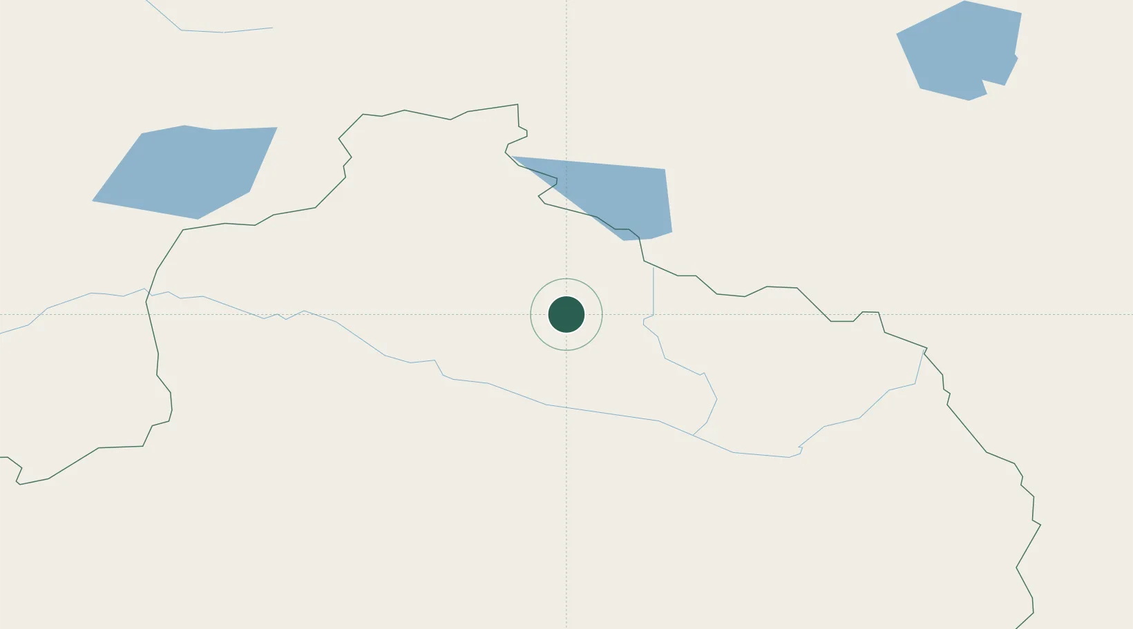
Region
XJ
Location
Nearby Logistics Neighbours
Ports
- 1Igarka2180 km
- 2Dudinka2397 km
- 3Calcutta2815 km
- 4Mongla2827 km
- 5Chittagong2860 km
Airports
- 1Altay Xuedu Airport13 km
- 2Burqin Kanas Airport92 km
- 3Fuyun Koktokay Airport158 km
- 4Ölgii Mongolei International Airport183 km
- 5Zaysan Airport245 km
Trade Zones
DatabookThe Record of Consolidated Knowledge
China beyond logistics?