Large airport · Kazakhstan

Nursultan Nazarbayev International AirportUACC
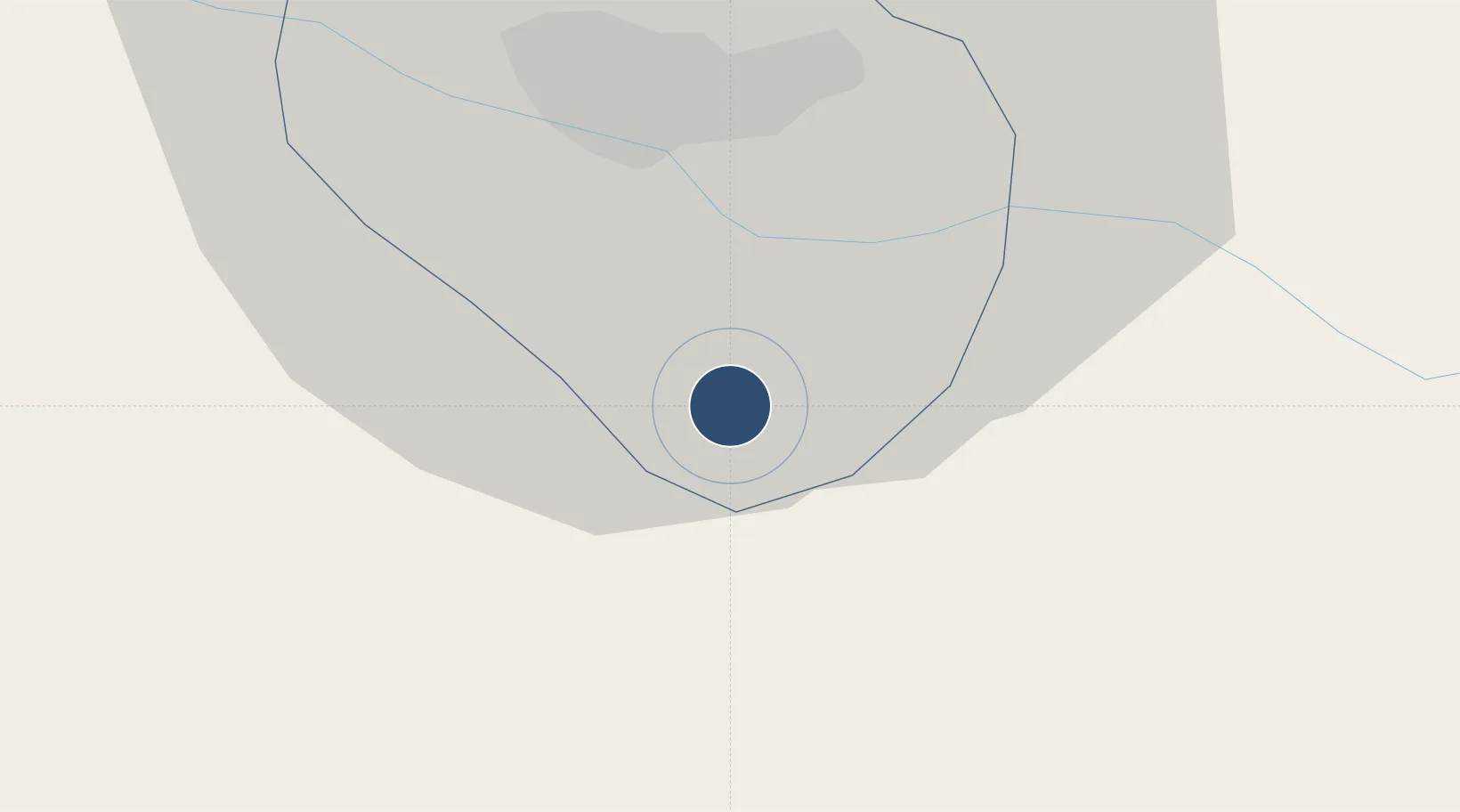
51.0270°, 71.4671°
11,484 ft
Longest runway
1
Runways
1,165 ft
Elevation

Runway & Layout

Nursultan Nazarbayev International Airport runway & taxiway layout
Runway & taxiway layout — OpenStreetMap (ODbL) / OurAirports

Radio Frequencies

ATIS
128.3 MHz
TWR
118.7 MHz
APP
124.6 MHz
RDR
120.7 MHz
RADAR
OurAirports

Navaids

AK NDB Astana 318 kHz
AST VOR-DME Astana 114.20 MHz
MO NDB Astana 318 kHz
OurAirports

Runways · 1

RunwayDimensions SurfaceTrue headingLit
04/22 11,484 × 148ft Asphalt 045°
OurAirports

Airport Specifications

IATA code
NQZ
OurAirports
ICAO code
UACC
OurAirports
Airport class
Large airport
OurAirports
Scheduled service
Yes
OurAirports
Runway surface
Asphalt
OurAirports
Served city
Astana
OurAirports

Location

Location of UACC
Natural Earth 10m (public domain) · Astana · UACC · 51.03, 71.47GoogleOSMYandex

Nearby Logistics Neighbours

Airports
  1. 1Sary-Arka Airport201 km
  2. 2Ekibastuz Airport268 km
  3. 3Kokshetau International Airport286 km
  4. 4Pavlodar International Airport408 km
  5. 5Petropavl International Airport444 km
Nearest neighbours — logibook spatial index (haversine) over the source coordinates
Cities
  1. 1Bielstein108 km
  2. 2Temirtau148 km
  3. 3Karaganda179 km
  4. 4Dernbach186 km
  5. 5Kokchetav285 km
Nearest neighbours — logibook spatial index (haversine) over the source coordinates
Ports
  1. 1Igarka2007 km
  2. 2Dudinka2185 km
  3. 3Port Dikson2536 km
  4. 4Bandar-E Mahshahr2934 km
  5. 5Bandar Khomeyni2942 km
Nearest neighbours — logibook spatial index (haversine) over the source coordinates
Trade Zones
  1. 1Astana Technopolis Special Economic Zone9 km
  2. 2Astana New City Special Economic Zone13 km
  3. 3Saryarka Special Economic Zone182 km
  4. 4Pavlodar Special Economic Zone406 km
  5. 5Qyzyljar Special Economic Zone454 km
Nearest neighbours — logibook spatial index (haversine) over the source coordinates
DatabookThe Record of Consolidated Knowledge
Kazakhstan beyond logistics?
Browse databook

All Sources

AirportsOurAirports
Public domain
Portsthe NGA World Port Index
Public domain (US gov)
LocationsUN/LOCODE
UN/LOCODE — free
Trade Zonesthe World Bank SEZ database
CC BY 4.0
Trade ZonesOpen Zone Map
CC BY
InfrastructureOpenStreetMap
ODbL 1.0
← Kazakhstan airports