Large airport · Kazakhstan

Baikonur Krayniy International AirportUAOL
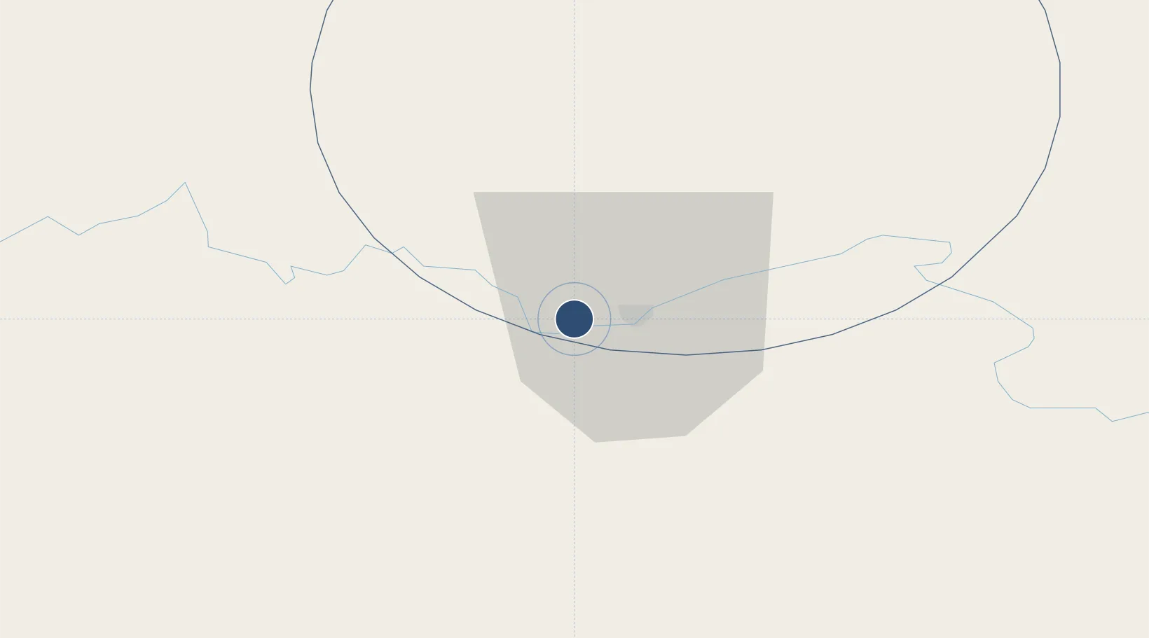
45.6220°, 63.2108°
10,500 ft
Longest runway
1
Runways
317 ft
Elevation

Runway & Layout

Baikonur Krayniy International Airport runway & taxiway layout
Runway & taxiway layout — OpenStreetMap (ODbL) / OurAirports

Runways · 1

RunwayDimensions SurfaceTrue headingLit
05/23 10,500 × 197ft asphalt
OurAirports

Airport Specifications

IATA code
BXY
OurAirports
ICAO code
UAOL
OurAirports
Airport class
Large airport
OurAirports
Scheduled service
Yes
OurAirports
Runway surface
asphalt
OurAirports
Served city
Baikonur
OurAirports

Location

Location of UAOL
Natural Earth 10m (public domain) · Baykonur lease in Qyzylorda · UAOL · 45.62, 63.21GoogleOSMYandex

Nearby Logistics Neighbours

Airports
  1. 1Yubileyniy Airfield48 km
  2. 2Korkyt Ata International Airport213 km
  3. 3Shalkar Airport373 km
  4. 4Zhezkazgan National Airport416 km
  5. 5Nukus International Airport451 km
Nearest neighbours — logibook spatial index (haversine) over the source coordinates
Cities
  1. 1Uchquduq379 km
  2. 2Qunghirot452 km
  3. 3Abweiler452 km
  4. 4Zarafshon458 km
  5. 5Boldumsaz481 km
Nearest neighbours — logibook spatial index (haversine) over the source coordinates
Ports
  1. 1Bandar-E Mahshahr2079 km
  2. 2Bandar Khomeyni2087 km
  3. 3Khorramshahr2134 km
  4. 4Abadan2138 km
  5. 5Kharg Island Oil Terminal2142 km
Nearest neighbours — logibook spatial index (haversine) over the source coordinates
Trade Zones
  1. 1Nukus Free Economic Zone461 km
  2. 2Turkistan Special Economic Zone478 km
  3. 3Hazorasp Free Economic Zone498 km
  4. 4Gijduvon Free Economic Zone625 km
  5. 5Navoi Free Industrial Economic Zone630 km
Nearest neighbours — logibook spatial index (haversine) over the source coordinates
DatabookThe Record of Consolidated Knowledge
Kazakhstan beyond logistics?
Browse databook

All Sources

AirportsOurAirports
Public domain
Portsthe NGA World Port Index
Public domain (US gov)
LocationsUN/LOCODE
UN/LOCODE — free
Trade Zonesthe World Bank SEZ database
CC BY 4.0
Trade ZonesOpen Zone Map
CC BY
InfrastructureOpenStreetMap
ODbL 1.0
← Kazakhstan airports