Large airport · Kazakhstan

Korkyt Ata International AirportUAOO
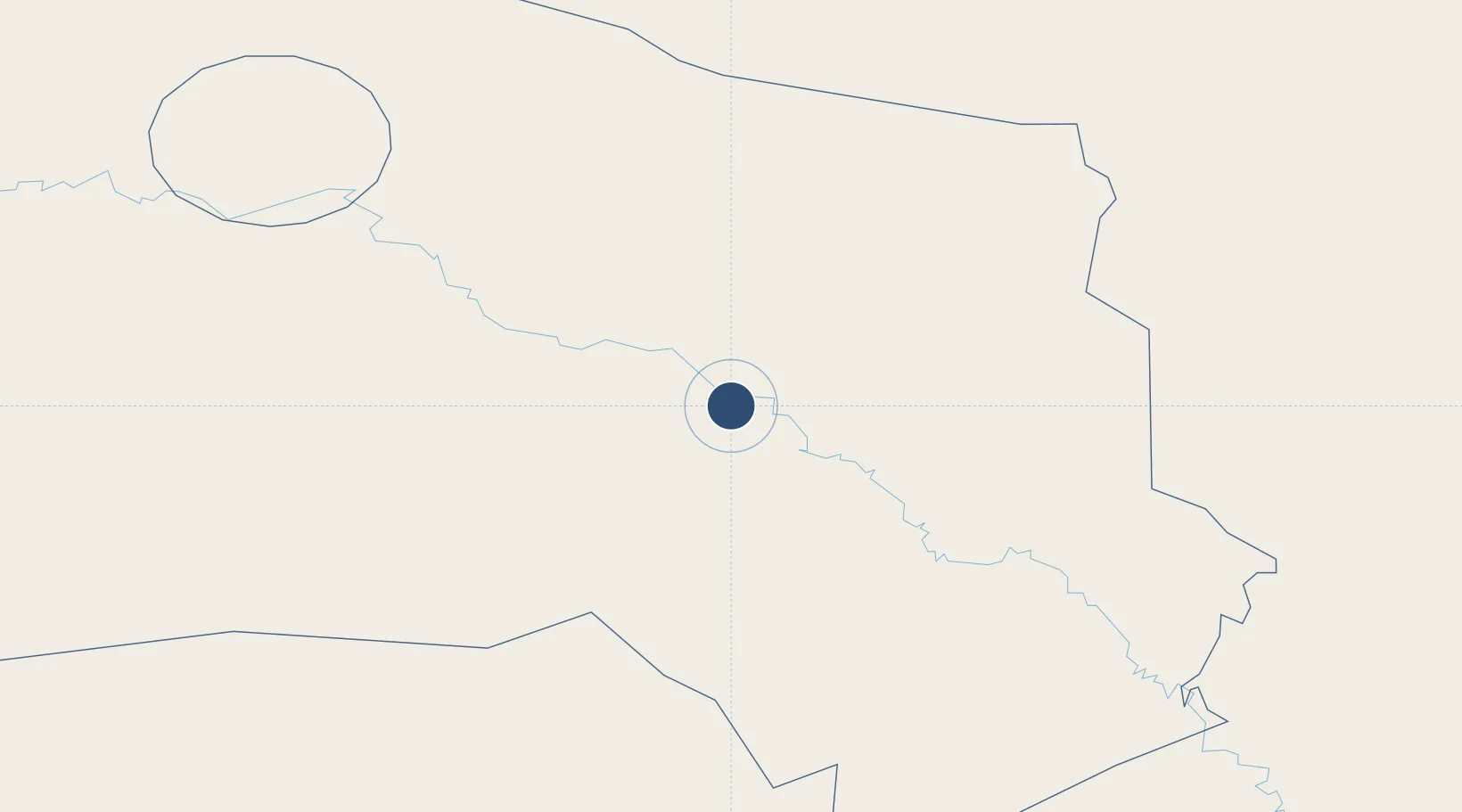
44.7069°, 65.5925°
8,858 ft
Longest runway
1
Runways
433 ft
Elevation

Runway & Layout

Korkyt Ata International Airport runway & taxiway layout
Runway & taxiway layout — OpenStreetMap (ODbL) / OurAirports

Runways · 1

RunwayDimensions SurfaceTrue headingLit
05/23 8,858 × 148ft ASPH
OurAirports

Airport Specifications

IATA code
KZO
OurAirports
ICAO code
UAOO
OurAirports
Airport class
Large airport
OurAirports
Scheduled service
Yes
OurAirports
Runway surface
ASPH
OurAirports
Served city
Kyzylorda
OurAirports

Location

Location of UAOO
Natural Earth 10m (public domain) · Qyzylorda · UAOO · 44.71, 65.59GoogleOSMYandex

Nearby Logistics Neighbours

Airports
  1. 1Baikonur Krayniy International Airport213 km
  2. 2Yubileyniy Airfield236 km
  3. 3Hazrat Sultan International Airport283 km
  4. 4Sugraly Airport361 km
  5. 5Zhezkazgan National Airport372 km
Nearest neighbours — logibook spatial index (haversine) over the source coordinates
Cities
  1. 1Uchquduq305 km
  2. 2Arys362 km
  3. 3Zarafshon367 km
  4. 4Chimkent420 km
  5. 5Aksukent426 km
Nearest neighbours — logibook spatial index (haversine) over the source coordinates
Ports
  1. 1Bandar-E Mahshahr2136 km
  2. 2Bandar Khomeyni2145 km
  3. 3Bushehr2179 km
  4. 4Kharg Island Oil Terminal2183 km
  5. 5Khorramshahr2198 km
Nearest neighbours — logibook spatial index (haversine) over the source coordinates
Trade Zones
  1. 1Turkistan Special Economic Zone266 km
  2. 2Ontustik Special Economic Zone428 km
  3. 3Bustonliq-pharm Free Economic Zone487 km
  4. 4Charvak Chorvoq Free Economic Zone491 km
  5. 5Sirdaryo-pharm Free Economic Zone497 km
Nearest neighbours — logibook spatial index (haversine) over the source coordinates
DatabookThe Record of Consolidated Knowledge
Kazakhstan beyond logistics?
Browse databook

All Sources

AirportsOurAirports
Public domain
Portsthe NGA World Port Index
Public domain (US gov)
LocationsUN/LOCODE
UN/LOCODE — free
Trade Zonesthe World Bank SEZ database
CC BY 4.0
Trade ZonesOpen Zone Map
CC BY
InfrastructureOpenStreetMap
ODbL 1.0
← Kazakhstan airports