Transport Functions
Multimodal
Hub Profile
Place type
Populated place
Region
Esch-sur-Alzette
Population
75
Time zone
Europe/Luxembourg
Elevation
306 m
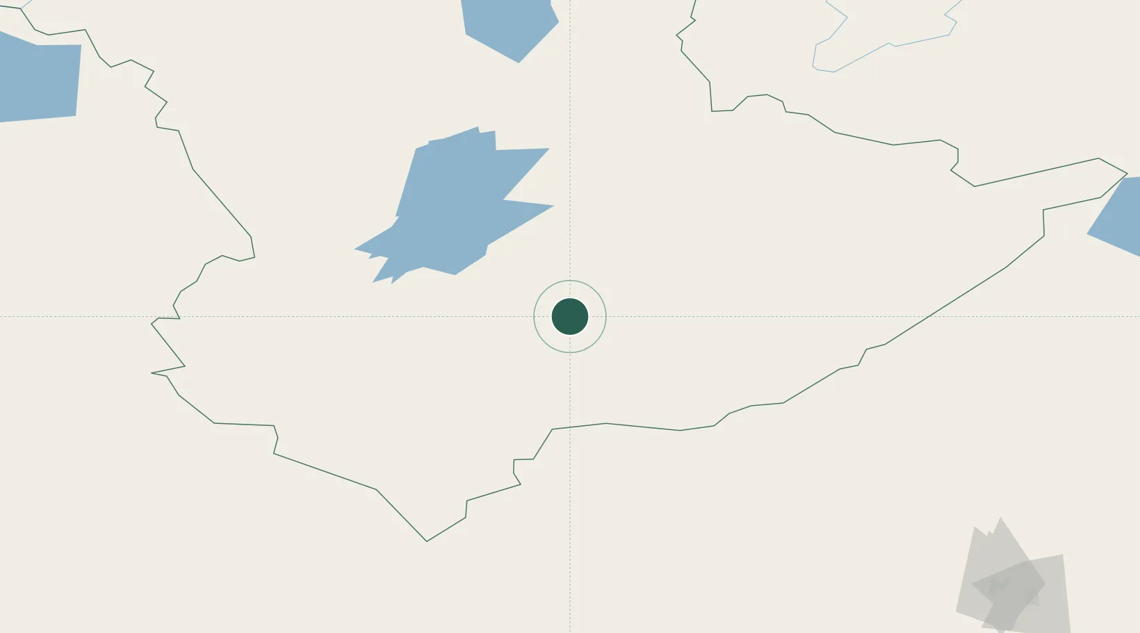
Location
Nearby Logistics Neighbours
Cities
- 1Fluitenberg375 km
- 2Gieten404 km
- 3Kustanai414 km
- 4Lieren449 km
- 5Anhalt Süd450 km
Ports
- 1Mezen2167 km
- 2Bandar-E Mahshahr2494 km
- 3Bandar Khomeyni2502 km
- 4Khorramshahr2542 km
- 5Abadan2547 km
Airports
- 1Zhezkazgan National Airport294 km
- 2Svetlyy Airport315 km
- 3Yubileyniy Airfield405 km
- 4Kostanay International Airport418 km
- 5Shalkar Airport424 km
DatabookThe Record of Consolidated Knowledge
Luxembourg beyond logistics?