Transport Functions
Multimodal
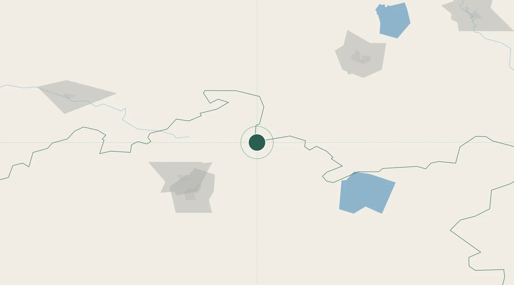
Hub Profile
Place type
Populated place
Region
Hesse
Time zone
Europe/Berlin
Elevation
475 m
Location
Nearby Logistics Neighbours
Ports
- 1Igarka2004 km
- 2Dudinka2193 km
- 3Port Dikson2572 km
- 4Jazireh-Ye Hormoz3001 km
- 5Bandar Abbas3007 km
Airports
- 1Sary-Arka Airport109 km
- 2Ekibastuz Airport144 km
- 3Nursultan Nazarbayev International Airport186 km
- 4Pavlodar International Airport281 km
- 5Kurchatov Airfield321 km
Trade Zones
DatabookThe Record of Consolidated Knowledge
Germany beyond logistics?