Small airport · Guadeloupe

La Désirade AirportTFFA
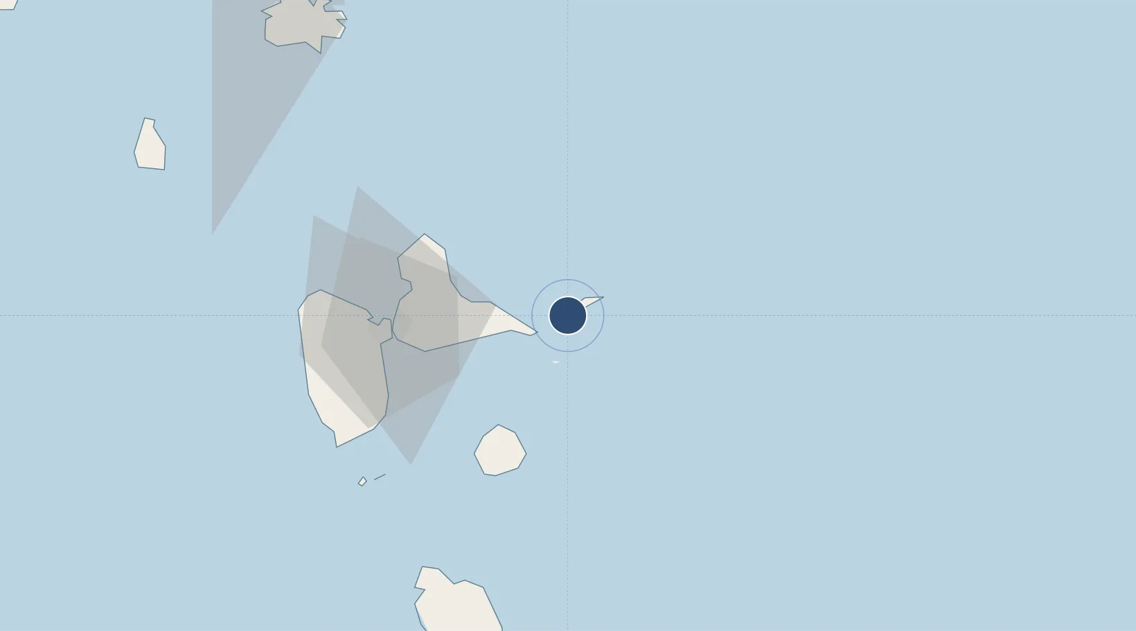
16.2969°, -61.0844°
1,985 ft
Longest runway
1
Runways
10 ft
Elevation

Runway & Layout

La Désirade Airport runway & taxiway layout
Runway & taxiway layout — OpenStreetMap (ODbL) / OurAirports

Runways · 1

RunwayDimensions SurfaceTrue headingLit
09/27 1,985 × —ft paved
OurAirports

Airport Specifications

IATA code
DSD
OurAirports
ICAO code
TFFA
OurAirports
Airport class
Small airport
OurAirports
Scheduled service
Yes
OurAirports
Runway surface
paved
OurAirports
Served city
Grande Anse
OurAirports

Location

Location of TFFA
Natural Earth 10m (public domain) · Guadeloupe · TFFA · 16.30, -61.08GoogleOSMYandex

Nearby Logistics Neighbours

Airports
  1. 1St-François Airport20 km
  2. 2Maryse Condé International Airport48 km
  3. 3Marie-Galante Airport52 km
  4. 4Basse-Terre Baillif Airport77 km
  5. 5Douglas-Charles Airport87 km
Nearest neighbours — logibook spatial index (haversine) over the source coordinates
Cities
  1. 1Saint-François20 km
  2. 2Le Gosier44 km
  3. 3Les Abymes44 km
  4. 4Folle-Anse47 km
  5. 5Pointe-à-Pitre48 km
Nearest neighbours — logibook spatial index (haversine) over the source coordinates
Ports
  1. 1Pointe A Pitre48 km
  2. 2Port Louis50 km
  3. 3Basse Terre77 km
  4. 4Portsmouth91 km
  5. 5Roseau116 km
Nearest neighbours — logibook spatial index (haversine) over the source coordinates

All Sources

AirportsOurAirports
Public domain
Portsthe NGA World Port Index
Public domain (US gov)
LocationsUN/LOCODE
UN/LOCODE — free
Trade Zonesthe World Bank SEZ database
CC BY 4.0
Trade ZonesOpen Zone Map
CC BY
← Guadeloupe airports