Small airport · Colombia

Los Colonizadores AirportSKSA
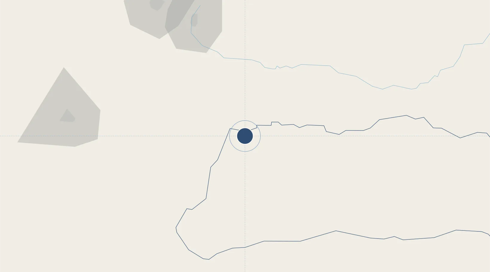
6.9519°, -71.8572°
3,937 ft
Longest runway
1
Runways
680 ft
Elevation

Runway & Layout

Los Colonizadores Airport runway & taxiway layout
Runway & taxiway layout — OpenStreetMap (ODbL) / OurAirports

Navaids

SVA NDB Saravena 388 kHz
OurAirports

Runways · 1

RunwayDimensions SurfaceTrue headingLit
16/34 3,937 × 98ft Asphalt 150°
OurAirports

Airport Specifications

IATA code
RVE
OurAirports
ICAO code
SKSA
OurAirports
Airport class
Small airport
OurAirports
Scheduled service
Yes
OurAirports
Runway surface
Asphalt
OurAirports
Served city
Saravena
OurAirports

Location

Location of SKSA
Natural Earth 10m (public domain) · Arauca · SKSA · 6.95, -71.86GoogleOSMYandex

Nearby Logistics Neighbours

Airports
  1. 1Gustavo Vargas Airport57 km
  2. 2Mayor Buenaventura Vivas International Airport71 km
  3. 3Paramillo Airport102 km
  4. 4Juan Vicente Gómez International Airport118 km
  5. 5Paz de Ariporo Airport120 km
Nearest neighbours — logibook spatial index (haversine) over the source coordinates
Cities
  1. 1Ureña126 km
  2. 2Seboruco133 km
  3. 3Barrancabermeja226 km
  4. 4Mantecal306 km
  5. 5Puerto Boyaca311 km
Nearest neighbours — logibook spatial index (haversine) over the source coordinates
Ports
  1. 1San Lorenzo327 km
  2. 2La Salina382 km
  3. 3Bajo Grande397 km
  4. 4Maracaibo410 km
  5. 5Puerto Miranda425 km
Nearest neighbours — logibook spatial index (haversine) over the source coordinates
DatabookThe Record of Consolidated Knowledge
Colombia beyond logistics?
Browse databook

All Sources

AirportsOurAirports
Public domain
Portsthe NGA World Port Index
Public domain (US gov)
LocationsUN/LOCODE
UN/LOCODE — free
Trade Zonesthe World Bank SEZ database
CC BY 4.0
Trade ZonesOpen Zone Map
CC BY
InfrastructureOpenStreetMap
ODbL 1.0
← Colombia airports