Small airport · Brazil
Cacoal AirportSSKW
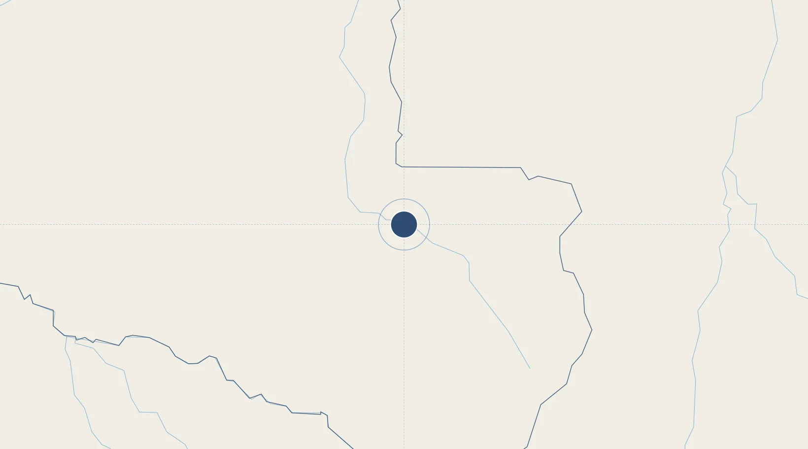
-11.4960°, -61.4508°
6,890 ft
Longest runway
1
Runways
778 ft
Elevation
Runway & Layout

Runways · 1
| Runway | Dimensions | Surface | True heading | Lit |
|---|---|---|---|---|
| 15/35 | 6,890 × 148ft | ASPH | — | — |
Airport Specifications
IATA code
OAL
ICAO code
SSKW
Airport class
Small airport
Scheduled service
Yes
Runway surface
ASPH
Served city
Cacoal
Location
Nearby Logistics Neighbours
Airports
Cities
- 1Porto Velho410 km
- 2Vila Bela da Santíssima Trindade422 km
- 3Guajará-Mirim430 km
- 4Humaitá476 km
- 5Riberalta510 km
Ports
- 1Manaus943 km
- 2Itacoatiara985 km
- 3Rada De Arica1229 km
- 4Santarem1253 km
- 5Puerto Ilo1266 km
Trade Zones
DatabookThe Record of Consolidated Knowledge
Brazil beyond logistics?