Small airport · Brazil

Santa Magalhães AirportSNHS
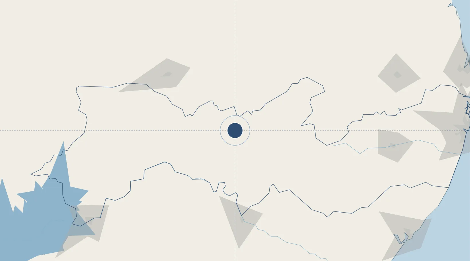
-8.0614°, -38.3289°
5,905 ft
Longest runway
1
Runways
1,542 ft
Elevation

Runway & Layout

Santa Magalhães Airport runway & taxiway layout
Runway & taxiway layout — OpenStreetMap (ODbL) / OurAirports

Runways · 1

RunwayDimensions SurfaceTrue headingLit
13/31 5,905 × 98ft Asphalt
OurAirports

Airport Specifications

IATA code
SET
OurAirports
ICAO code
SNHS
OurAirports
Airport class
Small airport
OurAirports
Scheduled service
Yes
OurAirports
Runway surface
Asphalt
OurAirports
Served city
Serra Talhada
OurAirports

Location

Location of SNHS
Natural Earth 10m (public domain) · Pernambuco · SNHS · -8.06, -38.33GoogleOSMYandex

Nearby Logistics Neighbours

Airports
  1. 1Pedro Vieira Moreira Airport135 km
  2. 2Orlando Bezerra de Menezes Airport140 km
  3. 3Paulo Afonso Airport149 km
  4. 4Caruaru Airport256 km
  5. 5Presidente João Suassuna Airport282 km
Nearest neighbours — logibook spatial index (haversine) over the source coordinates
Cities
  1. 1Petrolina279 km
  2. 2Juazeiro281 km
  3. 3Itiúba336 km
  4. 4Mossoró338 km
  5. 5Maceió339 km
Nearest neighbours — logibook spatial index (haversine) over the source coordinates
Ports
  1. 1Porto De Maceio336 km
  2. 2Port De Aracaju347 km
  3. 3Porto De Suape372 km
  4. 4Recife381 km
  5. 5Cabedelo404 km
Nearest neighbours — logibook spatial index (haversine) over the source coordinates
Trade Zones
  1. 1ZPE de Barra dos Coqueiros (SE)346 km
  2. 2ZPE de Suape (PE)371 km
  3. 3ZPE de João Pessoa (PB)386 km
  4. 4ZPE de Macaíba (RN)399 km
  5. 5ZPE de Pecém (CE) ( Port of Pecém)502 km
Nearest neighbours — logibook spatial index (haversine) over the source coordinates
DatabookThe Record of Consolidated Knowledge
Brazil beyond logistics?
Browse databook

All Sources

AirportsOurAirports
Public domain
Portsthe NGA World Port Index
Public domain (US gov)
LocationsUN/LOCODE
UN/LOCODE — free
Trade Zonesthe World Bank SEZ database
CC BY 4.0
Trade ZonesOpen Zone Map
CC BY
InfrastructureOpenStreetMap
ODbL 1.0
← Brazil airports