Medium airport · Bolivia

Teniente Coronel Rafael Pabón AirportSLVM
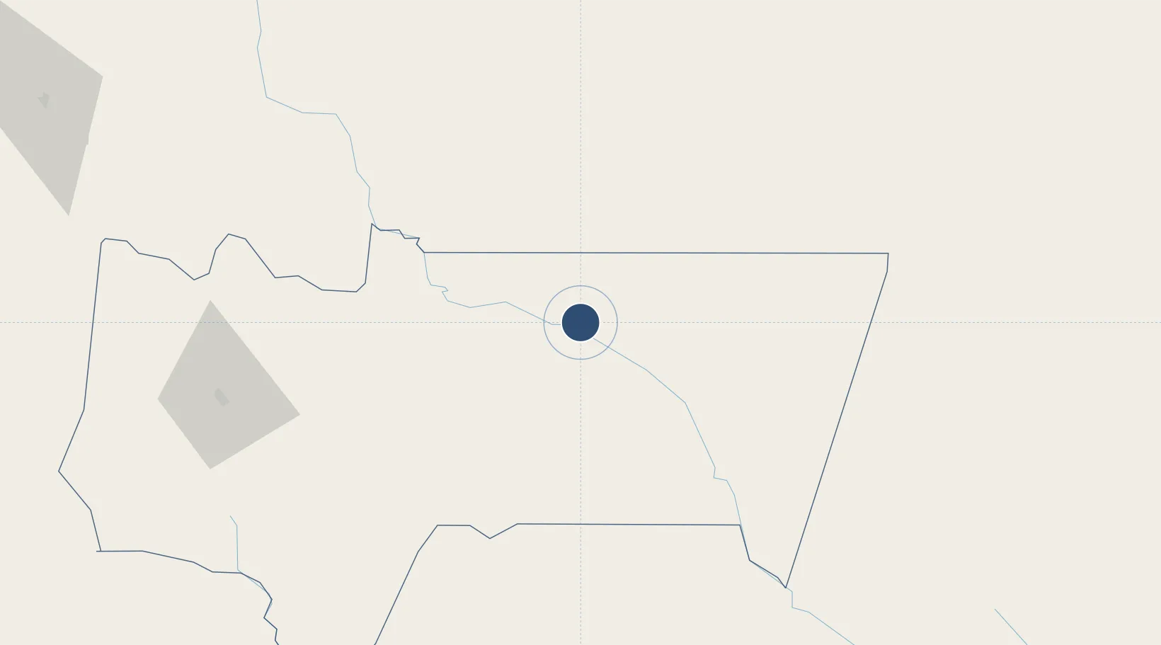
-21.2552°, -63.4056°
4,918 ft
Longest runway
1
Runways
1,305 ft
Elevation

Runway & Layout

Teniente Coronel Rafael Pabón Airport runway & taxiway layout
Runway & taxiway layout — OpenStreetMap (ODbL) / OurAirports

Radio Frequencies

TWR
118.7 MHz
VILLAMONTES TWR
RDO
662.2 MHz
VILLAMONTES RDO
OurAirports

Navaids

VTS NDB Villamontes 219 kHz
OurAirports

Runways · 1

RunwayDimensions SurfaceTrue headingLit
18/36 4,918 × 115ft Asphalt 175°
OurAirports

Airport Specifications

IATA code
VLM
OurAirports
ICAO code
SLVM
OurAirports
Airport class
Medium airport
OurAirports
Scheduled service
No
OurAirports
Runway surface
Asphalt
OurAirports
Served city
Villamontes
OurAirports

Location

Location of SLVM
Natural Earth 10m (public domain) · Tarija · SLVM · -21.26, -63.41GoogleOSMYandex

Nearby Logistics Neighbours

Airports
  1. 1Yacuiba Airport83 km
  2. 2Base de la Fuerza Aérea Paraguaya "Mayor Infante Rivarola"115 km
  3. 3Capitan Oriel Lea Plaza Airport138 km
  4. 4General Enrique Mosconi Airport157 km
  5. 5Bermejo Airport193 km
Nearest neighbours — logibook spatial index (haversine) over the source coordinates
Cities
  1. 1Yacuiba91 km
  2. 2General Enrique Mosconi155 km
  3. 3Hickmann217 km
  4. 4Villazón243 km
  5. 5La Quiaca247 km
Nearest neighbours — logibook spatial index (haversine) over the source coordinates
Ports
  1. 1Caleta Patillos708 km
  2. 2Tocopilla712 km
  3. 3Iquique713 km
  4. 4Puerto De Asuncion735 km
  5. 5Mejillones755 km
Nearest neighbours — logibook spatial index (haversine) over the source coordinates
Trade Zones
  1. 1Winner Commercial and Industrial Free Zone388 km
  2. 2Santa Cruz Commercial and Industrial Free Zone410 km
  3. 3Zona Franca de Salta419 km
  4. 4Oruro Commercial and Industrial Free Zone523 km
  5. 5Zona Franca Oruro534 km
Nearest neighbours — logibook spatial index (haversine) over the source coordinates
DatabookThe Record of Consolidated Knowledge
Bolivia beyond logistics?
Browse databook

All Sources

AirportsOurAirports
Public domain
Portsthe NGA World Port Index
Public domain (US gov)
LocationsUN/LOCODE
UN/LOCODE — free
Trade Zonesthe World Bank SEZ database
CC BY 4.0
Trade ZonesOpen Zone Map
CC BY
InfrastructureOpenStreetMap
ODbL 1.0
← Bolivia airports