Medium airport · Paraguay

Base de la Fuerza Aérea Paraguaya "Mayor Infante Rivarola"PY-0043
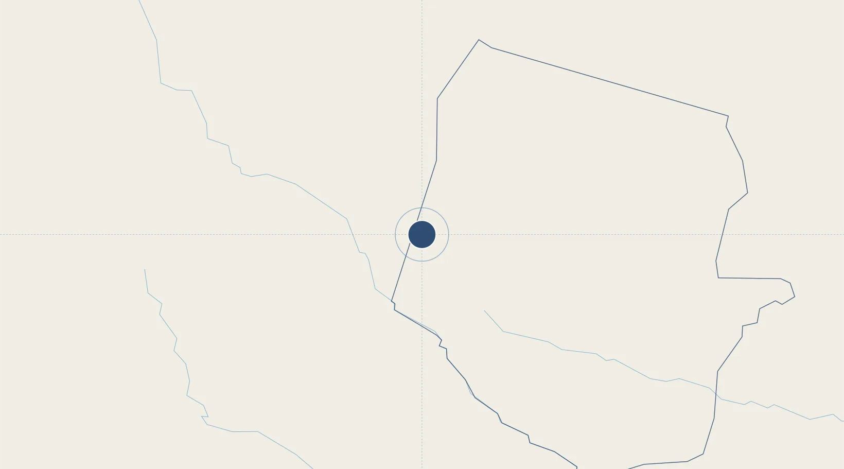
-21.6804°, -62.3964°
908 ft
Elevation

Runway & Layout

Base de la Fuerza Aérea Paraguaya "Mayor Infante Rivarola" runway & taxiway layout
Runway & taxiway layout — OpenStreetMap (ODbL) / OurAirports

Airport Specifications

Airport class
Medium airport
OurAirports
Scheduled service
No
OurAirports
Served city
Mayor Infante Rivarola
OurAirports

Location

Location of PY-0043
Natural Earth 10m (public domain) · Boquerón · PY-0043 · -21.68, -62.40GoogleOSMYandex

Nearby Logistics Neighbours

Airports
  1. 1Teniente Coronel Rafael Pabón Airport115 km
  2. 2Yacuiba Airport133 km
  3. 3General Enrique Mosconi Airport178 km
  4. 4Dr. Luis María Argaña International Airport188 km
  5. 5Bermejo Airport232 km
Nearest neighbours — logibook spatial index (haversine) over the source coordinates
Cities
  1. 1Yacuiba139 km
  2. 2General Enrique Mosconi179 km
  3. 3Hickmann207 km
  4. 4Villazón332 km
  5. 5La Quiaca336 km
Nearest neighbours — logibook spatial index (haversine) over the source coordinates
Ports
  1. 1Puerto De Asuncion625 km
  2. 2Tocopilla810 km
  3. 3Caleta Patillos816 km
  4. 4Iquique824 km
  5. 5Mejillones845 km
Nearest neighbours — logibook spatial index (haversine) over the source coordinates
Trade Zones
  1. 1Zona Franca de Salta431 km
  2. 2Winner Commercial and Industrial Free Zone441 km
  3. 3Santa Cruz Commercial and Industrial Free Zone464 km
  4. 4Zona Franca Puerto Suárez562 km
  5. 5Central Aguirre Portuaria572 km
Nearest neighbours — logibook spatial index (haversine) over the source coordinates
DatabookThe Record of Consolidated Knowledge
Paraguay beyond logistics?
Browse databook

All Sources

AirportsOurAirports
Public domain
Portsthe NGA World Port Index
Public domain (US gov)
LocationsUN/LOCODE
UN/LOCODE — free
Trade Zonesthe World Bank SEZ database
CC BY 4.0
Trade ZonesOpen Zone Map
CC BY
InfrastructureOpenStreetMap
ODbL 1.0
← Paraguay airports