Small airport · Bolivia

Uyuni Joya Andina AirportSLUY
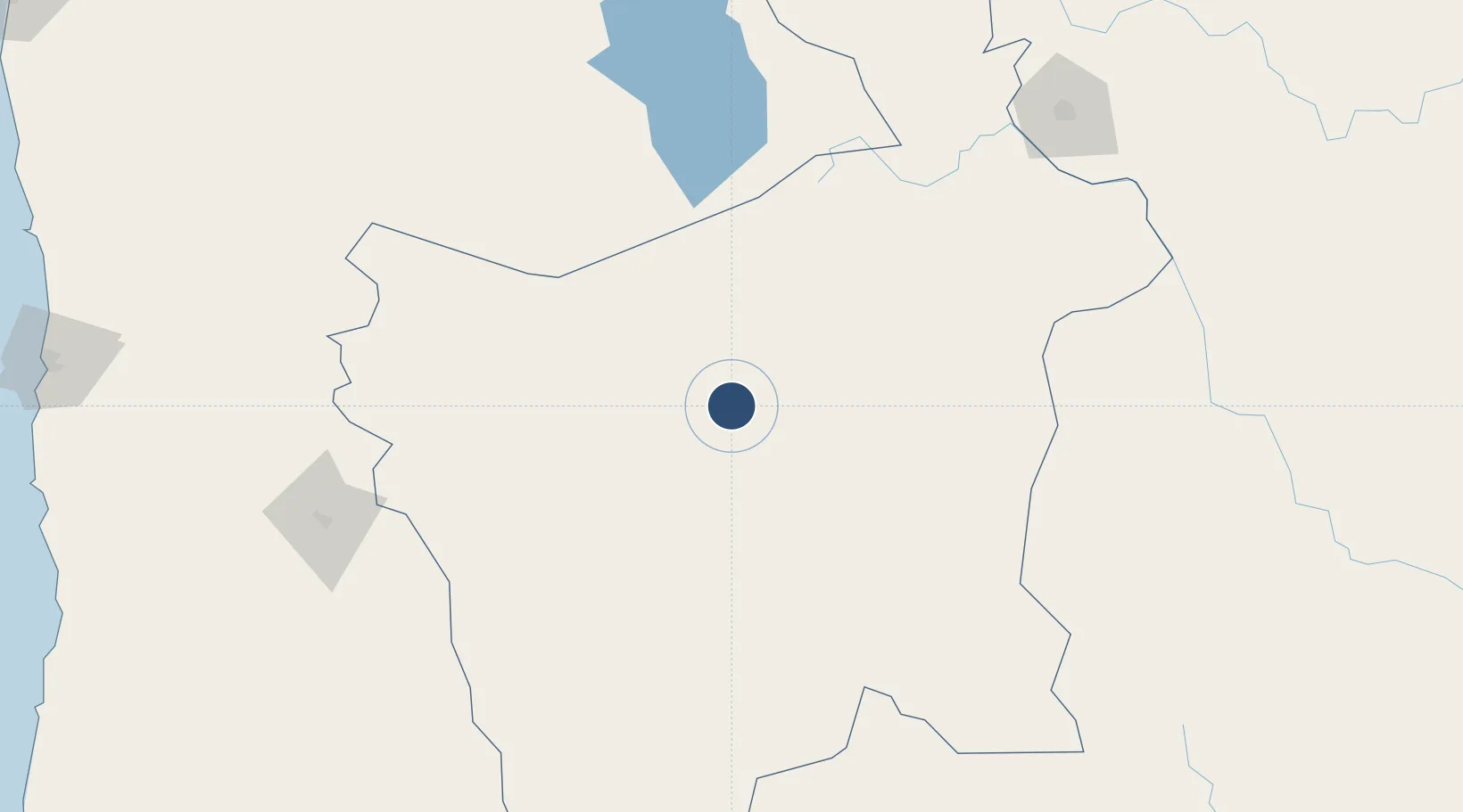
-20.4413°, -66.8576°
13,123 ft
Longest runway
1
Runways
11,136 ft
Elevation

Runway & Layout

Uyuni Joya Andina Airport runway & taxiway layout
Runway & taxiway layout — OpenStreetMap (ODbL) / OurAirports

Runways · 1

RunwayDimensions SurfaceTrue headingLit
13/31 13,123 × 148ft Concrete
OurAirports

Airport Specifications

IATA code
UYU
OurAirports
ICAO code
SLUY
OurAirports
Airport class
Small airport
OurAirports
Scheduled service
Yes
OurAirports
Runway surface
Concrete
OurAirports
Served city
Quijarro
OurAirports

Location

Location of SLUY
Natural Earth 10m (public domain) · Potosí · SLUY · -20.44, -66.86GoogleOSMYandex

Nearby Logistics Neighbours

Airports
  1. 1Capitan Nicolas Rojas Airport155 km
  2. 2Alcantarí International Airport223 km
  3. 3Juana Azurduy de Padilla Air Force Base229 km
  4. 4Capitan Oriel Lea Plaza Airport256 km
  5. 5Juan Mendoza International Airport277 km
Nearest neighbours — logibook spatial index (haversine) over the source coordinates
Cities
  1. 1Ollagüe171 km
  2. 2Avaroa184 km
  3. 3La Quiaca225 km
  4. 4Villazón225 km
  5. 5Sucre230 km
Nearest neighbours — logibook spatial index (haversine) over the source coordinates
Ports
  1. 1Iquique346 km
  2. 2Caleta Patillos349 km
  3. 3Tocopilla395 km
  4. 4Rada De Arica425 km
  5. 5Mejillones476 km
Nearest neighbours — logibook spatial index (haversine) over the source coordinates
Trade Zones
  1. 1Oruro Commercial and Industrial Free Zone270 km
  2. 2Zona Franca Oruro276 km
  3. 3Iquique Free Trade Zone343 km
  4. 4Zofrapat Commercial and Industrial Free Zone372 km
  5. 5Arica Free Trade Zone431 km
Nearest neighbours — logibook spatial index (haversine) over the source coordinates
DatabookThe Record of Consolidated Knowledge
Bolivia beyond logistics?
Browse databook

All Sources

AirportsOurAirports
Public domain
Portsthe NGA World Port Index
Public domain (US gov)
LocationsUN/LOCODE
UN/LOCODE — free
Trade Zonesthe World Bank SEZ database
CC BY 4.0
Trade ZonesOpen Zone Map
CC BY
InfrastructureOpenStreetMap
ODbL 1.0
← Bolivia airports