UN/LOCODE hub · Chile
CLOLL

Ollagüe

-21.2333°, -68.2667°
2
Transport functions

Transport Functions

Rail
Road
UN/LOCODE

Hub Profile

Region
AN
GeoNames

Location

Location of CLOLL
Natural Earth 10m (public domain) · AN · CLOLL · -21.23, -68.27GoogleOSMYandex

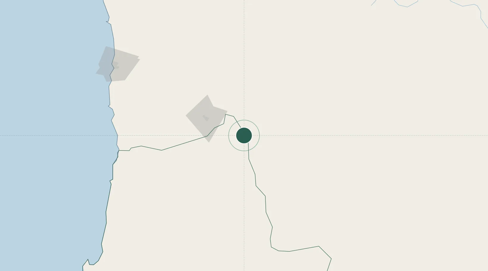
Nearby Logistics Neighbours

Cities
  1. 1Avaroa14 km
  2. 2Calama151 km
  3. 3Patillos206 km
  4. 4Puerto Patache206 km
  5. 5Punta Patache208 km
Nearest neighbours — logibook spatial index (haversine) over the source coordinates
Ports
  1. 1Caleta Patillos208 km
  2. 2Tocopilla224 km
  3. 3Iquique229 km
  4. 4Mejillones307 km
  5. 5Antofagasta348 km
Nearest neighbours — logibook spatial index (haversine) over the source coordinates
Airports
  1. 1El Loa Airport155 km
  2. 2Uyuni Joya Andina Airport171 km
  3. 3Barriles Airport211 km
  4. 4Diego Aracena International Airport214 km
  5. 5Capitan Nicolas Rojas Airport325 km
Nearest neighbours — logibook spatial index (haversine) over the source coordinates
Trade Zones
  1. 1Iquique Free Trade Zone226 km
  2. 2Oruro Commercial and Industrial Free Zone380 km
  3. 3Zona Franca Oruro382 km
  4. 4Arica Free Trade Zone386 km
  5. 5Chacalluta Arica Industrial Park386 km
Nearest neighbours — logibook spatial index (haversine) over the source coordinates
DatabookThe Record of Consolidated Knowledge
Chile beyond logistics?
Browse databook

All Sources

LocationsUN/LOCODE
UN/LOCODE — free
Portsthe NGA World Port Index
Public domain (US gov)
AirportsOurAirports
Public domain
Trade Zonesthe World Bank SEZ database
CC BY 4.0
Trade ZonesOpen Zone Map
CC BY
← Chile locations