Transport Functions
Rail
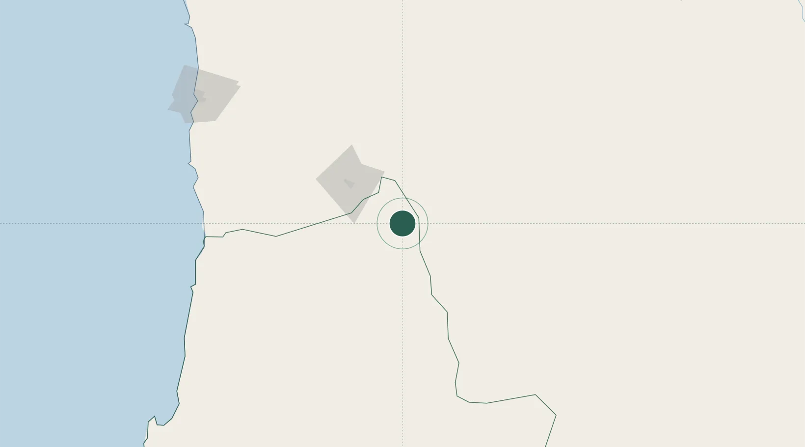
Hub Profile
Place type
Populated place
Region
Potosí Department
Time zone
America/La_Paz
Elevation
3,668 m
Location
Nearby Logistics Neighbours
Cities
- 1Ollagüe14 km
- 2Calama137 km
- 3Pedro de Valdivia196 km
- 4Sierra Gorda201 km
- 5Puerto Patache201 km
Ports
- 1Caleta Patillos203 km
- 2Tocopilla212 km
- 3Iquique227 km
- 4Mejillones293 km
- 5Antofagasta334 km
Airports
- 1El Loa Airport142 km
- 2Uyuni Joya Andina Airport184 km
- 3Barriles Airport198 km
- 4Diego Aracena International Airport210 km
- 5Andrés Sabella Gálvez International Airport319 km
Trade Zones
- 1Iquique Free Trade Zone224 km
- 2Arica Free Trade Zone390 km
- 3Chacalluta Arica Industrial Park390 km
- 4Oruro Commercial and Industrial Free Zone394 km
- 5Zona Franca Oruro396 km
DatabookThe Record of Consolidated Knowledge
Bolivia beyond logistics?