Small airport · Brazil

Tangará da Serra AirportSWTS
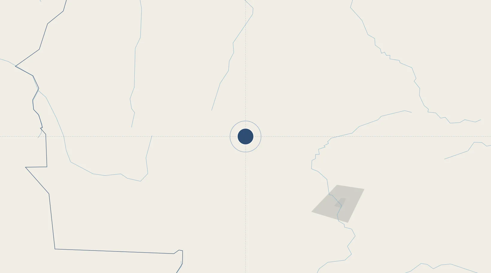
-14.6620°, -57.4437°
4,921 ft
Longest runway
1
Runways
1,473 ft
Elevation

Runway & Layout

Tangará da Serra Airport runway & taxiway layout
Runway & taxiway layout — OpenStreetMap (ODbL) / OurAirports

Runways · 1

RunwayDimensions SurfaceTrue headingLit
18/36 4,921 × 98ft Asphalt
OurAirports

Airport Specifications

IATA code
TGQ
OurAirports
ICAO code
SWTS
OurAirports
Airport class
Small airport
OurAirports
Scheduled service
Yes
OurAirports
Runway surface
Asphalt
OurAirports
Served city
Tangará da Serra
OurAirports

Location

Location of SWTS
Natural Earth 10m (public domain) · Mato Grosso · SWTS · -14.66, -57.44GoogleOSMYandex

Nearby Logistics Neighbours

Airports
  1. 1Várzea Grande–Marechal Rondon International Airport180 km
  2. 2André Antônio Maggi Airport217 km
  3. 3Adolino Bedin Regional Airport309 km
  4. 4Brigadeiro Camarão Airport361 km
  5. 5Maestro Marinho Franco Airport361 km
Nearest neighbours — logibook spatial index (haversine) over the source coordinates
Cities
  1. 1Cáceres158 km
  2. 2Várzea Grande179 km
  3. 3Cuiabá179 km
  4. 4Vila Bela da Santíssima Trindade272 km
  5. 5Puerto Quijarro349 km
Nearest neighbours — logibook spatial index (haversine) over the source coordinates
Ports
  1. 1Puerto De Asuncion1179 km
  2. 2Itacoatiara1285 km
  3. 3Manaus1313 km
  4. 4Santarem1394 km
  5. 5Rada De Arica1437 km
Nearest neighbours — logibook spatial index (haversine) over the source coordinates
Trade Zones
  1. 1ZPE de Cáceres160 km
  2. 2Zona Franca Puerto Suárez481 km
  3. 3Central Aguirre Portuaria483 km
  4. 4ZPE DE Corumbá484 km
  5. 5Santa Cruz Commercial and Industrial Free Zone690 km
Nearest neighbours — logibook spatial index (haversine) over the source coordinates
DatabookThe Record of Consolidated Knowledge
Brazil beyond logistics?
Browse databook

All Sources

AirportsOurAirports
Public domain
Portsthe NGA World Port Index
Public domain (US gov)
LocationsUN/LOCODE
UN/LOCODE — free
Trade Zonesthe World Bank SEZ database
CC BY 4.0
Trade ZonesOpen Zone Map
CC BY
InfrastructureOpenStreetMap
ODbL 1.0
← Brazil airports