UN/LOCODE hub · Bolivia
BOPSZ
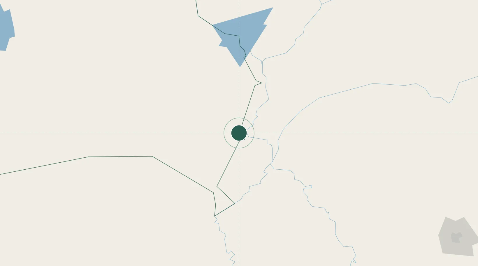
Puerto Suárez
-18.9500°, -57.8000°
12,546
Population
2
Transport functions
Transport Functions
Port
Airport
Hub Profile
Place type
Populated place
Region
Santa Cruz Department
Population
12,546
Time zone
America/La_Paz
Elevation
218 m
Location
Nearby Logistics Neighbours
Cities
- 1Corumbá18 km
- 2Ladário22 km
- 3Puerto Busch122 km
- 4Puerto Quijarro130 km
- 5Fuerte Olimpo234 km
Ports
- 1Puerto De Asuncion703 km
- 2Paranagua1201 km
- 3Sao Francisco1242 km
- 4Itajai1290 km
- 5Santos1313 km
Airports
Trade Zones
- 1Zona Franca Puerto Suárez5 km
- 2Central Aguirre Portuaria10 km
- 3ZPE DE Corumbá15 km
- 4ZPE de Cáceres320 km
- 5Winner Commercial and Industrial Free Zone578 km
DatabookThe Record of Consolidated Knowledge
Bolivia beyond logistics?