UN/LOCODE hub · Bolivia
BOQJR
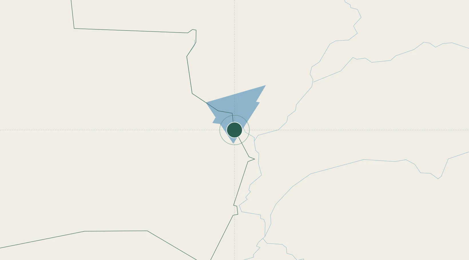
Puerto Quijarro
-17.7833°, -57.7667°
10,392
Population
2
Transport functions
Transport Functions
Port
Road
Hub Profile
Place type
Populated place
Region
Santa Cruz Department
Population
10,392
Time zone
America/La_Paz
Elevation
92 m
Location
Nearby Logistics Neighbours
Cities
- 1Puerto Suárez130 km
- 2Corumbá136 km
- 3Ladário136 km
- 4Cáceres191 km
- 5Puerto Busch251 km
Ports
- 1Puerto De Asuncion832 km
- 2Paranagua1284 km
- 3Rada De Arica1330 km
- 4Sao Francisco1331 km
- 5Iquique1331 km
Airports
Trade Zones
- 1Zona Franca Puerto Suárez132 km
- 2Central Aguirre Portuaria135 km
- 3ZPE DE Corumbá136 km
- 4ZPE de Cáceres190 km
- 5Winner Commercial and Industrial Free Zone568 km
DatabookThe Record of Consolidated Knowledge
Bolivia beyond logistics?