UN/LOCODE hub · Brazil
BRCCX

Cáceres

-16.0667°, -57.6667°
91,626
Population
4
Transport functions

Transport Functions

Port
Road
Airport
Multimodal
UN/LOCODE

Hub Profile

Place type
Populated place
GeoNames
Region
Mato Grosso
GeoNames
Population
91,626
GeoNames
Time zone
America/Cuiaba
GeoNames
Elevation
123 m
GeoNames

Location

Location of BRCCX
Natural Earth 10m (public domain) · Mato Grosso · BRCCX · -16.07, -57.67GoogleOSMYandex

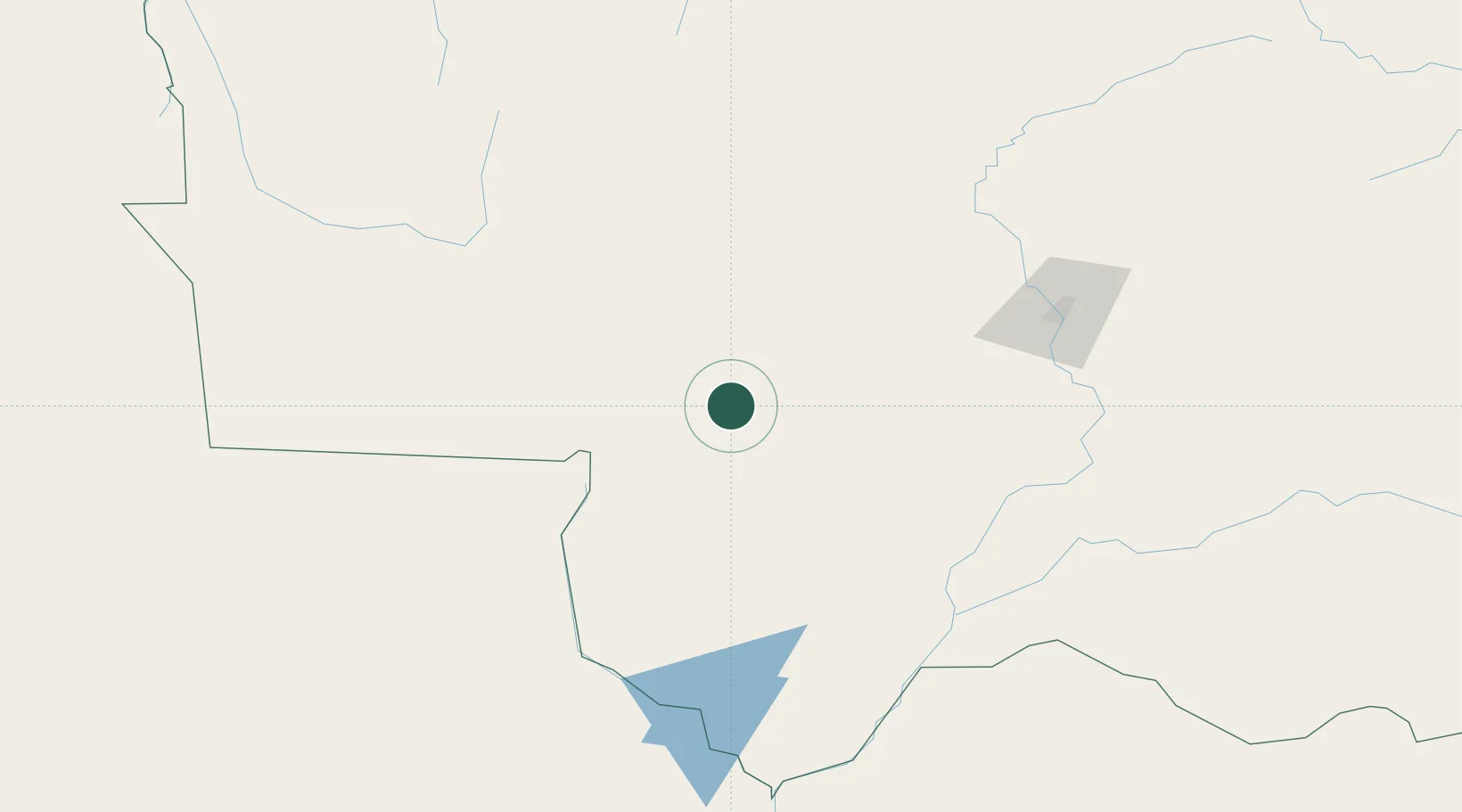
Nearby Logistics Neighbours

Cities
  1. 1Várzea Grande170 km
  2. 2Cuiabá180 km
  3. 3Puerto Quijarro191 km
  4. 4Vila Bela da Santíssima Trindade272 km
  5. 5Puerto Suárez321 km
Nearest neighbours — logibook spatial index (haversine) over the source coordinates
Ports
  1. 1Puerto De Asuncion1023 km
  2. 2Rada De Arica1371 km
  3. 3Iquique1398 km
  4. 4Paranagua1415 km
  5. 5Caleta Patillos1420 km
Nearest neighbours — logibook spatial index (haversine) over the source coordinates
Airports
  1. 1Tangará da Serra Airport158 km
  2. 2Várzea Grande–Marechal Rondon International Airport172 km
  3. 3André Antônio Maggi Airport208 km
  4. 4Fazenda Riozinho Airport275 km
  5. 5Maestro Marinho Franco Airport319 km
Nearest neighbours — logibook spatial index (haversine) over the source coordinates
Trade Zones
  1. 1ZPE de Cáceres2 km
  2. 2Zona Franca Puerto Suárez324 km
  3. 3Central Aguirre Portuaria326 km
  4. 4ZPE DE Corumbá327 km
  5. 5Santa Cruz Commercial and Industrial Free Zone608 km
Nearest neighbours — logibook spatial index (haversine) over the source coordinates
DatabookThe Record of Consolidated Knowledge
Brazil beyond logistics?
Browse databook

All Sources

LocationsUN/LOCODE
UN/LOCODE — free
LocationsGeoNames
CC BY 4.0
Portsthe NGA World Port Index
Public domain (US gov)
AirportsOurAirports
Public domain
Trade Zonesthe World Bank SEZ database
CC BY 4.0
Trade ZonesOpen Zone Map
CC BY
← Brazil locations