Small airport · Brazil

André Antônio Maggi AirportSWBG
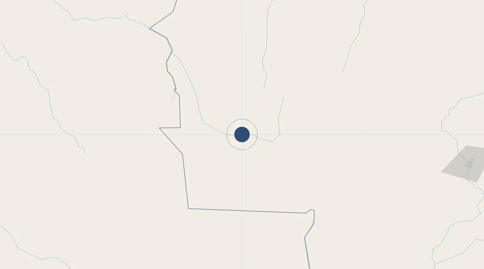
-15.1934°, -59.3848°
4,921 ft
Longest runway
1
Runways
870 ft
Elevation

Runway & Layout

André Antônio Maggi Airport runway & taxiway layout
Runway & taxiway layout — OpenStreetMap (ODbL) / OurAirports

Runways · 1

RunwayDimensions SurfaceTrue headingLit
1/19 4,921 × 98ft Asphalt
OurAirports

Airport Specifications

IATA code
LCB
OurAirports
ICAO code
SWBG
OurAirports
Airport class
Small airport
OurAirports
Scheduled service
Yes
OurAirports
Runway surface
Asphalt
OurAirports
Served city
Pontes e Lacerda
OurAirports

Location

Location of SWBG
Natural Earth 10m (public domain) · Mato Grosso · SWBG · -15.19, -59.38GoogleOSMYandex

Nearby Logistics Neighbours

Airports
  1. 1Tangará da Serra Airport217 km
  2. 2San Ignacio de Velasco Airport223 km
  3. 3Brigadeiro Camarão Airport288 km
  4. 4Várzea Grande–Marechal Rondon International Airport354 km
  5. 5Capitán Av. Salvador Ogaya G. airport452 km
Nearest neighbours — logibook spatial index (haversine) over the source coordinates
Cities
  1. 1Vila Bela da Santíssima Trindade64 km
  2. 2Cáceres208 km
  3. 3Puerto Quijarro336 km
  4. 4Várzea Grande352 km
  5. 5Cuiabá358 km
Nearest neighbours — logibook spatial index (haversine) over the source coordinates
Ports
  1. 1Puerto De Asuncion1134 km
  2. 2Rada De Arica1221 km
  3. 3Iquique1270 km
  4. 4Caleta Patillos1299 km
  5. 5Puerto Ilo1306 km
Nearest neighbours — logibook spatial index (haversine) over the source coordinates
Trade Zones
  1. 1ZPE de Cáceres207 km
  2. 2Zona Franca Puerto Suárez451 km
  3. 3Central Aguirre Portuaria459 km
  4. 4ZPE DE Corumbá461 km
  5. 5Santa Cruz Commercial and Industrial Free Zone481 km
Nearest neighbours — logibook spatial index (haversine) over the source coordinates
DatabookThe Record of Consolidated Knowledge
Brazil beyond logistics?
Browse databook

All Sources

AirportsOurAirports
Public domain
Portsthe NGA World Port Index
Public domain (US gov)
LocationsUN/LOCODE
UN/LOCODE — free
Trade Zonesthe World Bank SEZ database
CC BY 4.0
Trade ZonesOpen Zone Map
CC BY
InfrastructureOpenStreetMap
ODbL 1.0
← Brazil airports