Medium airport · Colombia

Santiago Perez AirportSKUC
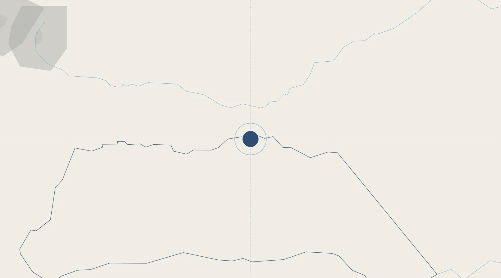
7.0689°, -70.7369°
6,890 ft
Longest runway
1
Runways
420 ft
Elevation

Runway & Layout

Santiago Perez Airport runway & taxiway layout
Runway & taxiway layout — OpenStreetMap (ODbL) / OurAirports

Radio Frequencies

TWR
118.1 MHz
OurAirports

Navaids

AUC VOR-DME Arauca 114.00 MHz
OurAirports

Runways · 1

RunwayDimensions SurfaceTrue headingLit
11/29 6,890 × 98ft Asphalt 098°
OurAirports

Airport Specifications

IATA code
AUC
OurAirports
ICAO code
SKUC
OurAirports
Airport class
Medium airport
OurAirports
Scheduled service
Yes
OurAirports
Runway surface
Asphalt
OurAirports
Served city
Arauca
OurAirports

Location

Location of SKUC
Natural Earth 10m (public domain) · Arauca · SKUC · 7.07, -70.74GoogleOSMYandex

Nearby Logistics Neighbours

Airports
  1. 1Guasdualito Airport16 km
  2. 2Palmarito Airport84 km
  3. 3Los Colonizadores Airport124 km
  4. 4Gustavo Vargas Airport132 km
  5. 5Elorza Airport137 km
Nearest neighbours — logibook spatial index (haversine) over the source coordinates
Cities
  1. 1Mantecal184 km
  2. 2Seboruco188 km
  3. 3Ureña211 km
  4. 4El Pinal227 km
  5. 5El Playon294 km
Nearest neighbours — logibook spatial index (haversine) over the source coordinates
Ports
  1. 1San Lorenzo304 km
  2. 2La Salina375 km
  3. 3Bajo Grande396 km
  4. 4Maracaibo408 km
  5. 5El Tabiazo420 km
Nearest neighbours — logibook spatial index (haversine) over the source coordinates
DatabookThe Record of Consolidated Knowledge
Colombia beyond logistics?
Browse databook

All Sources

AirportsOurAirports
Public domain
Portsthe NGA World Port Index
Public domain (US gov)
LocationsUN/LOCODE
UN/LOCODE — free
Trade Zonesthe World Bank SEZ database
CC BY 4.0
Trade ZonesOpen Zone Map
CC BY
InfrastructureOpenStreetMap
ODbL 1.0
← Colombia airports