Medium airport · Colombia

Gustavo Vargas AirportSKTM
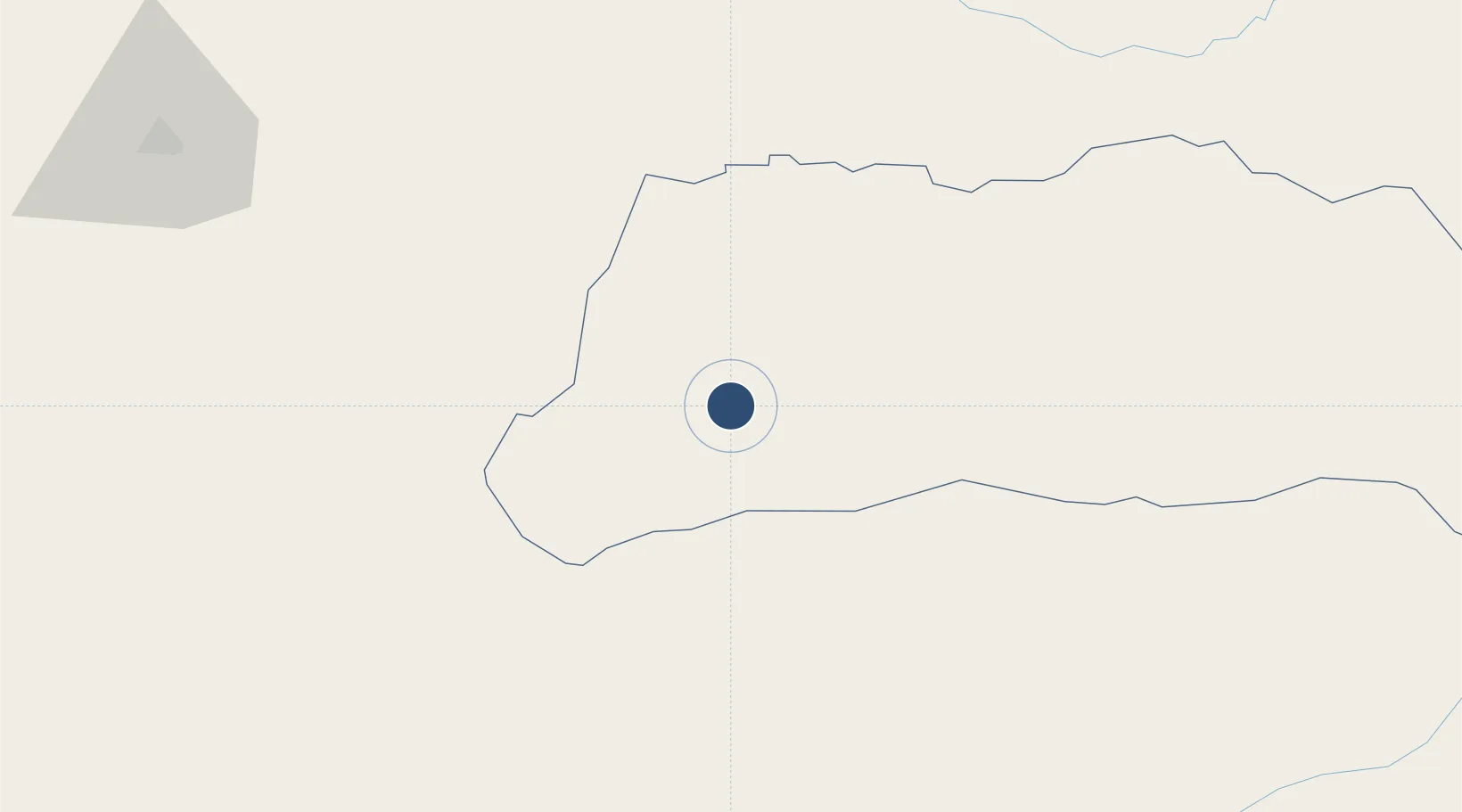
6.4511°, -71.7603°
6,561 ft
Longest runway
1
Runways
1,050 ft
Elevation

Runway & Layout

Gustavo Vargas Airport runway & taxiway layout
Runway & taxiway layout — OpenStreetMap (ODbL) / OurAirports

Radio Frequencies

TWR
118.4 MHz
RDO
348.8 MHz
OurAirports

Navaids

TME NDB Tame 270 kHz
OurAirports

Runways · 1

RunwayDimensions SurfaceTrue headingLit
07/25 6,561 × 98ft Asphalt 059°
OurAirports

Airport Specifications

IATA code
TME
OurAirports
ICAO code
SKTM
OurAirports
Airport class
Medium airport
OurAirports
Scheduled service
Yes
OurAirports
Runway surface
Asphalt
OurAirports
Served city
Tame
OurAirports

Location

Location of SKTM
Natural Earth 10m (public domain) · Arauca · SKTM · 6.45, -71.76GoogleOSMYandex

Nearby Logistics Neighbours

Airports
  1. 1Los Colonizadores Airport57 km
  2. 2Paz de Ariporo Airport65 km
  3. 3Mayor Buenaventura Vivas International Airport128 km
  4. 4Santiago Perez Airport132 km
  5. 5Guasdualito Airport139 km
Nearest neighbours — logibook spatial index (haversine) over the source coordinates
Cities
  1. 1Ureña180 km
  2. 2Seboruco190 km
  3. 3Barrancabermeja247 km
  4. 4Tocancipá290 km
  5. 5Puerto Boyaca302 km
Nearest neighbours — logibook spatial index (haversine) over the source coordinates
Ports
  1. 1San Lorenzo378 km
  2. 2La Salina437 km
  3. 3Bajo Grande452 km
  4. 4Maracaibo465 km
  5. 5Puerto Miranda480 km
Nearest neighbours — logibook spatial index (haversine) over the source coordinates
DatabookThe Record of Consolidated Knowledge
Colombia beyond logistics?
Browse databook

All Sources

AirportsOurAirports
Public domain
Portsthe NGA World Port Index
Public domain (US gov)
LocationsUN/LOCODE
UN/LOCODE — free
Trade Zonesthe World Bank SEZ database
CC BY 4.0
Trade ZonesOpen Zone Map
CC BY
InfrastructureOpenStreetMap
ODbL 1.0
← Colombia airports