UN/LOCODE hub · Brazil
BRROO
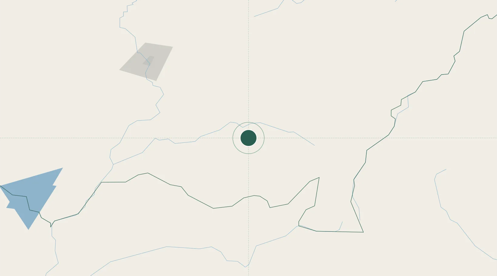
Rondonópolis
-16.6942°, -54.6850°
259,167
Population
3
Transport functions
Transport Functions
Rail
Road
Airport
Hub Profile
Place type
Populated place
Region
Mato Grosso
Population
259,167
Time zone
America/Cuiaba
Elevation
230 m
Logistics facilities
1
Location
Nearby Logistics Neighbours
Cities
- 1Itiquira81 km
- 2Alto Araguaia170 km
- 3Várzea Grande193 km
- 4Cuiabá194 km
- 5Alto Taquari197 km
Ports
- 1Puerto De Asuncion1003 km
- 2Paranagua1169 km
- 3Santos1189 km
- 4Sao Francisco1233 km
- 5Sao Sebastiao1249 km
Airports
Trade Zones
- 1ZPE de Cáceres328 km
- 2ZPE DE Corumbá407 km
- 3Central Aguirre Portuaria410 km
- 4Zona Franca Puerto Suárez419 km
- 5ZPE de Bataguassú (MS)605 km
DatabookThe Record of Consolidated Knowledge
Brazil beyond logistics?