Large airport · Brazil
Várzea Grande–Marechal Rondon International AirportSBCY
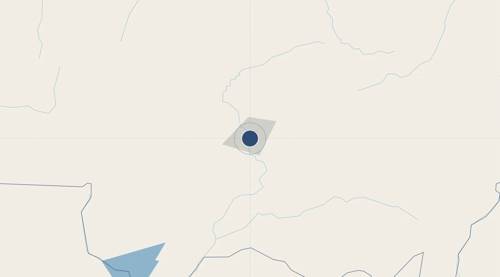
-15.6529°, -56.1167°
7,546 ft
Longest runway
1
Runways
617 ft
Elevation
Runway & Layout

Radio Frequencies
TWR
118.1 MHz
CUIABA TWR
APP
119.4 MHz
CUIABA APP
Navaids
CIA VOR-DME Cuiaba 113.70 MHz
CIA NDB Cuiaba 380 kHz
Runways · 1
| Runway | Dimensions | Surface | True heading | Lit |
|---|---|---|---|---|
| 17/35 | 7,546 × 148ft | Asphalt | 153° | ✓ |
Airport Specifications
IATA code
CGB
ICAO code
SBCY
Airport class
Large airport
Scheduled service
Yes
Runway surface
Asphalt
Served city
Cuiabá
Location
Nearby Logistics Neighbours
Airports
- 1Tangará da Serra Airport180 km
- 2Maestro Marinho Franco Airport181 km
- 3Fazenda Riozinho Airport293 km
- 4André Antônio Maggi Airport354 km
- 5Adolino Bedin Regional Airport356 km
Cities
- 1Várzea Grande2 km
- 2Cuiabá11 km
- 3Cáceres172 km
- 4Rondonópolis192 km
- 5Itiquira273 km
Ports
- 1Puerto De Asuncion1081 km
- 2Paranagua1350 km
- 3Santos1380 km
- 4Sao Francisco1411 km
- 5Itacoatiara1414 km
Trade Zones
- 1ZPE de Cáceres174 km
- 2ZPE DE Corumbá408 km
- 3Central Aguirre Portuaria409 km
- 4Zona Franca Puerto Suárez412 km
- 5ZPE de Bataguassú (MS)777 km
DatabookThe Record of Consolidated Knowledge
Brazil beyond logistics?