Transport Functions
Port
Road
Hub Profile
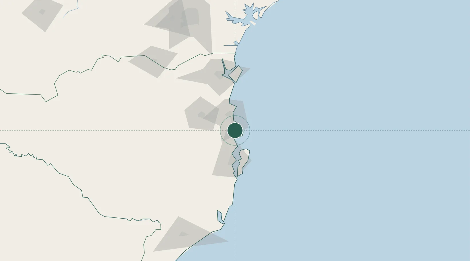
Place type
Populated place
Region
Santa Catarina
Population
27,688
Time zone
America/Sao_Paulo
Elevation
3 m
Location
Nearby Logistics Neighbours
Cities
- 1Balneário Camboriú17 km
- 2Itajaí29 km
- 3Navegantes30 km
- 4Joinville96 km
- 5São Francisco do Sul99 km
Ports
- 1Itajai24 km
- 2Sao Francisco98 km
- 3Imbituba123 km
- 4Laguna153 km
- 5Paranagua182 km
Airports
Trade Zones
- 1ZPE de Imbituba (SC)54 km
- 2Zona Franca Puerto Iguazu Free Trade Zone618 km
- 3Zona Franca Internacional635 km
- 4Zona Franca Global636 km
- 5ZPE de Rio Grande (RS)650 km
DatabookThe Record of Consolidated Knowledge
Brazil beyond logistics?