Transport Functions
Rail
Road
Hub Profile
Place type
Populated place
Region
Minas Gerais
Population
129,246
Time zone
America/Sao_Paulo
Elevation
689 m
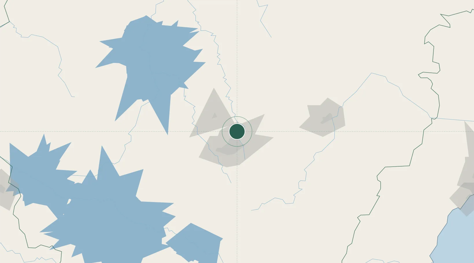
Location
Nearby Logistics Neighbours
Cities
- 1Santa Luzia12 km
- 2Pedro Leopoldo14 km
- 3Matozinhos23 km
- 4Belo Horizonte28 km
- 5Contagem29 km
Ports
- 1Niteroi365 km
- 2Rio De Janeiro366 km
- 3Macae373 km
- 4Angra Dos Reis373 km
- 5Vitoria381 km
Airports
Trade Zones
- 1ZPE de Teófilo Otoni (MG)326 km
- 2ZPE de Itaguaí (RJ)359 km
- 3ZPE do Açú (RJ)383 km
- 4ZPE de Aracruz (ES)405 km
- 5ZPE de Uberaba (MG)426 km
DatabookThe Record of Consolidated Knowledge
Brazil beyond logistics?